
John Speed: Tailor, Antiquary, and the Maker of the First British County Atlas
John Speed was born in or around 1552 in Farndon, Cheshire, the son of a London Merchant Taylor of the same name. Like his father, he was trained to the tailoring trade, and in 1580 he was admitted to the freedom of the Merchant Taylors’ Company in his own right, working as a jobbing tailor in the City of London for the best part of two decades. Nothing in this ordinary trade background hinted at the extraordinary second career that lay ahead: by the time he died in 1629, Speed had produced the first atlas ever to map every county of England, Wales, Scotland and Ireland, and had gone on to compile one of the earliest world atlases published by an Englishman.
The turn from tailoring to topography came through patronage rather than training. Speed had a private passion for history and genealogy, producing intricate charts tracing biblical descent from the 1590s onward, one of which was later granted a royal patent for inclusion in the 1611 King James Bible. This antiquarian hobby caught the attention of Sir Fulke Greville, later Lord Brooke, a courtier and poet who became Speed’s decisive patron. Greville gave him a financial allowance and, by 1598, used his influence to secure Speed a sinecure post as a Waiter in the London Custom House — a paid position light enough on actual duties to free him, in Speed’s own grateful words, from “the daily imployments of a manuall Trade.” For the first time, a City tailor in his late forties had the income and leisure to become a full-time scholar.
That leisure was spent in the company of England’s foremost antiquaries. Speed moved in the circle of the Elizabethan Society of Antiquaries alongside Robert Cotton and William Camden, whose great topographical survey Britannia became both a model and a direct source for Speed’s own historical writing. Camden is credited with introducing Speed to the Amsterdam engraver and publisher Jodocus Hondius, whose workshop would engrave the plates for Speed’s atlas, and it was this combination of antiquarian scholarship, City publishing connections, and Continental engraving skill that made the project possible.
The result, published in 1611–12, was The Theatre of the Empire of Great Britaine, bound together with its companion volume of prose history, The History of Great Britaine. Speed was candid that he had not surveyed the ground himself. “It may be objected,” he wrote in his preface, “that I have put my sickle into other mens corne” — an acknowledgment that his county maps leaned heavily on the pioneering Elizabethan surveys of Christopher Saxton, first published as an atlas in 1579, along with later work by John Norden and William Smith. Roughly a dozen of Speed’s plates can be traced directly to these predecessors.
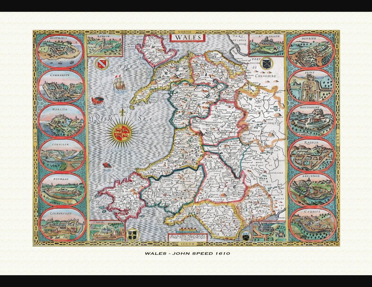
What Speed added, however, was substantial enough to create an entirely new kind of map. Onto the Saxton generation’s county outlines he grafted inset plans of the county town, drawn in most cases from his own visits and constituting the first printed street plans many of these towns had ever received; panels of local heraldry recording the coats of arms of resident nobility and gentry; the boundaries of the ancient administrative “hundreds,” which he was the first cartographer to show on a county map; and marginal notes on battles, monasteries, and historical events tied to the landscape depicted. Where Saxton had produced a bare, expert survey, Speed produced a picture of a county’s history and society.
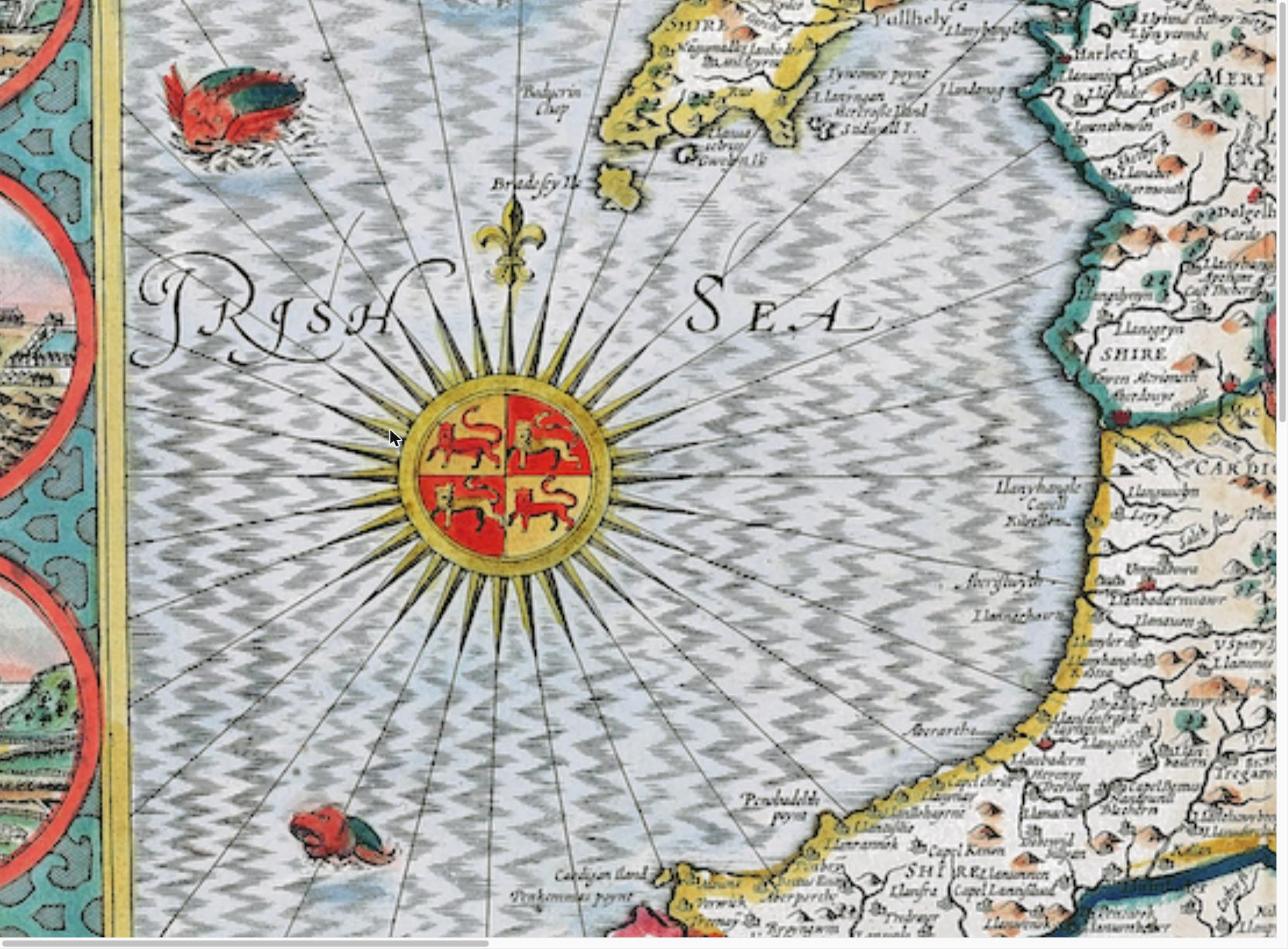
The Cardiganshire map is one of the few sheets that historians believe rests on Speed’s own original survey work rather than an inherited source, suggesting his working method varied from county to county even as his general role remained that of a compiler and editor rather than a field surveyor. The atlas was a considerable commercial undertaking, financed and marketed by the London print-sellers John Sudbury and George Humble, and it succeeded on a scale that outlasted its maker by generations. Speed revised and enlarged the work in 1614, and in 1627 — two years before his death — he issued A Prospect of the Most Famous Parts of the World, widely regarded as the first world atlas produced by an Englishman, which was subsequently bound together with later editions of the county atlas. His plates remained in commercial use, reprinted and re-engraved by successive publishers, for well over a century after his death, making his the most reproduced and recognisable set of British county maps of the early modern period.
Speed continued working into old age despite failing eyesight, going blind by around 1626. He died on 28 July 1629, a year after his wife Susanna, and was buried beside her at St Giles-without-Cripplegate in the City of London, where a monument raised in his memory still stands. He left behind an unusually large family of eighteen children and a body of work that, more than any other, fixed the image of Jacobean England, Wales, Scotland and Ireland in the popular imagination — not through original surveying, but through Speed’s particular gift for gathering, embellishing, and publishing the best cartographic knowledge of his age into a single, beautifully engraved national portrait.