Sussex Map - Further information
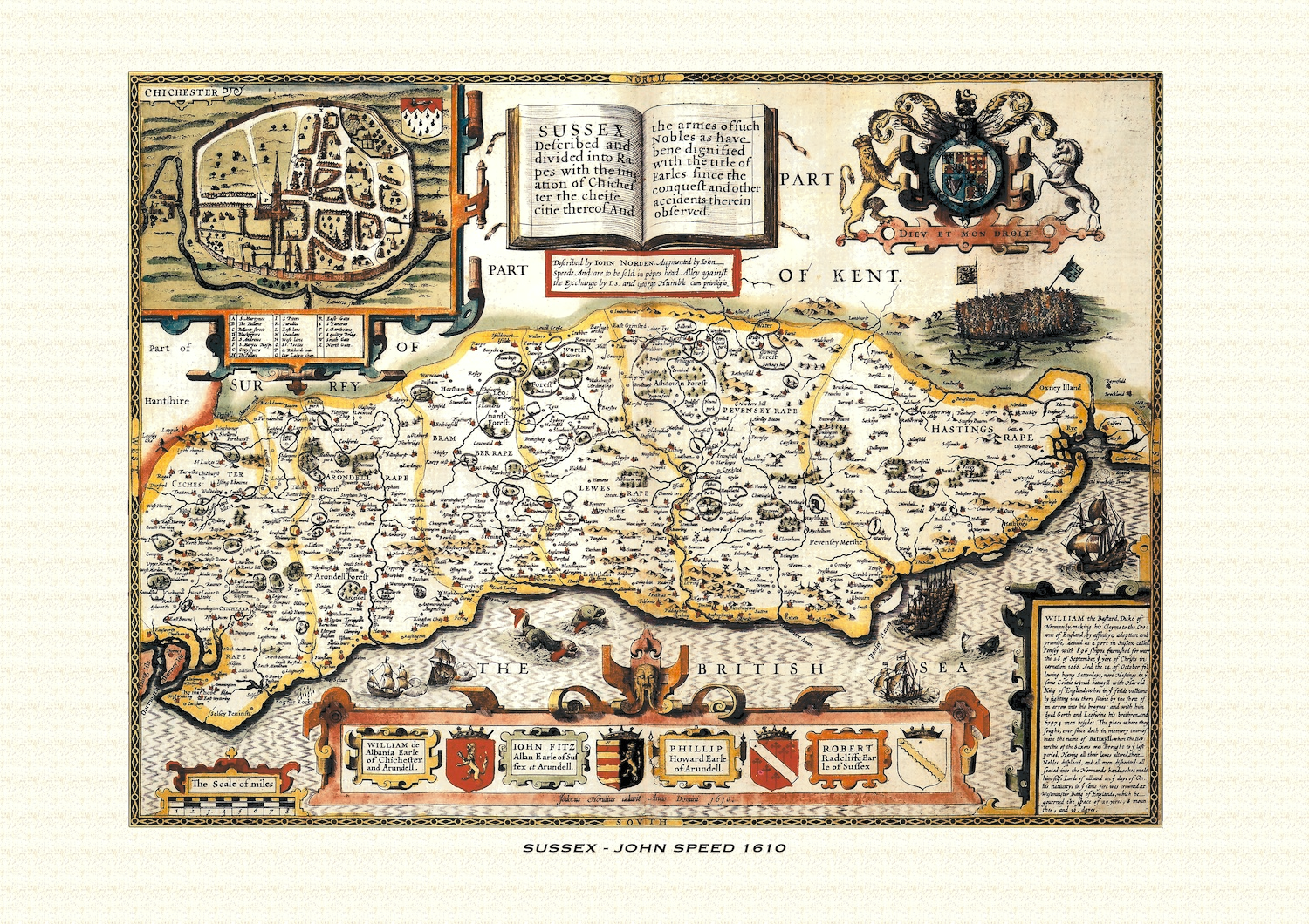
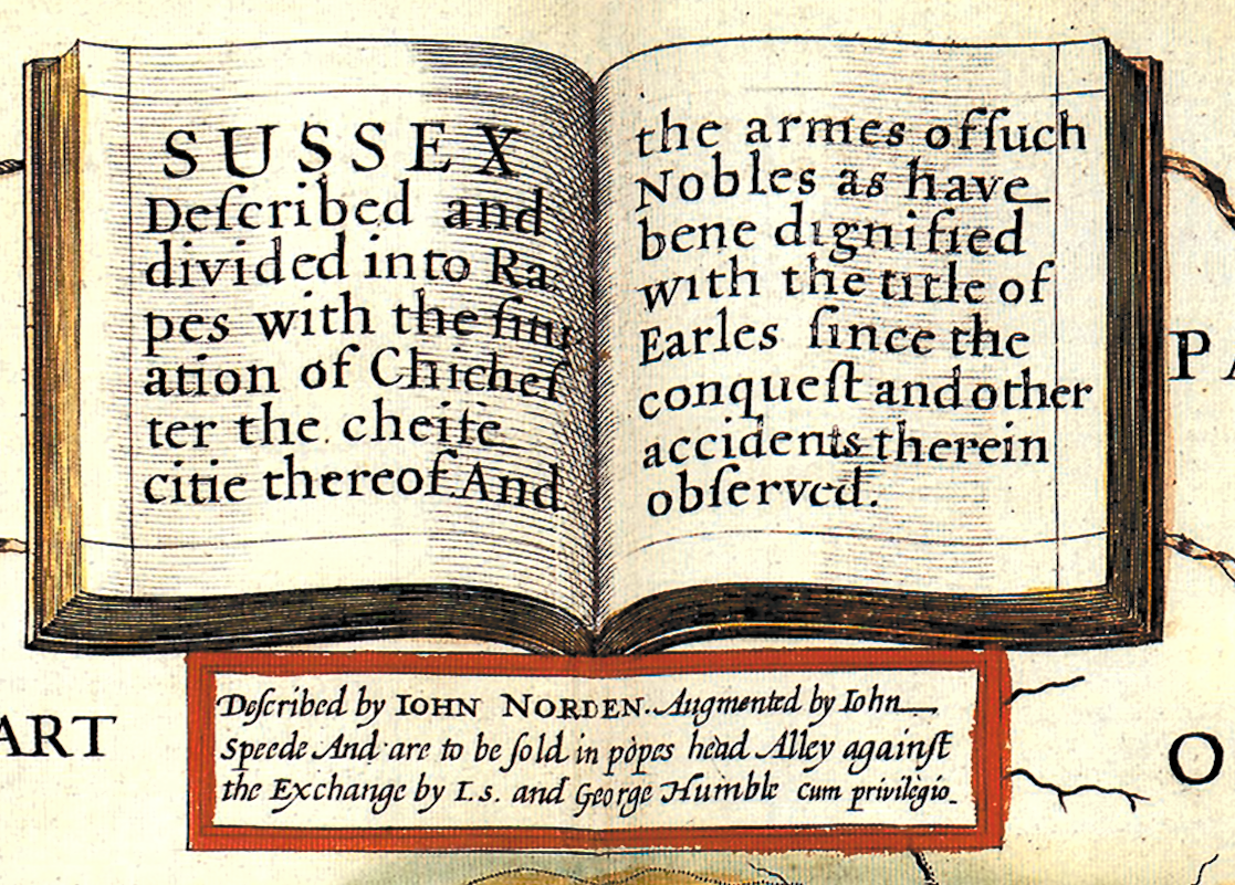
John Speed's map of Sussex appeared in his Theatre of the Empire of Great Britaine, first published in 1611-12, with the individual plate engraved in Amsterdam by Jodocus Hondius and generally dated 1610 on the sheet itself. That publishing history is common to all of Speed's county maps, but the Sussex plate — titled in full "Sussex Described and divided into Rapes with the situation of Chichester the cheife citie thereof, and the armes of such Nobles as have bene dignified with the title of Earles since the Conquest and other accidents therein observed" — carries a set of features that belong to it alone.
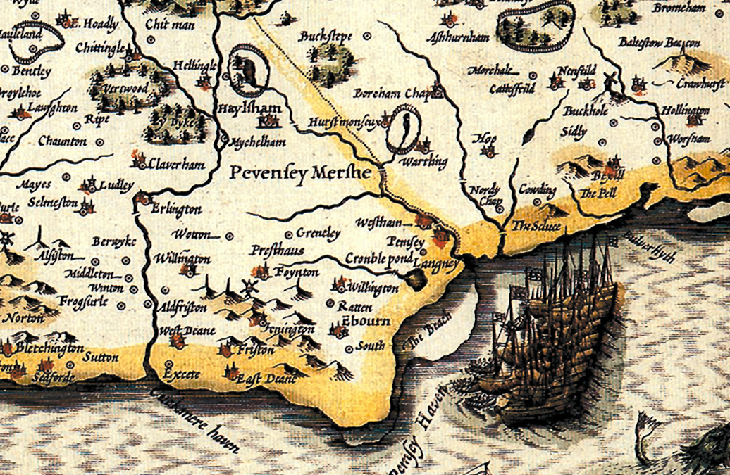
True to that title, Sussex is shown divided not into hundreds but into its six historic rapes — Chichester, Arundel, Bramber, Lewes, Pevensey and Hastings — a distinctively Sussex form of local administration, each running as a strip from the coast up into the Weald and thought by some antiquarians to preserve the lines of Norman military lordships planted along the coast after 1066. The county's geography is built around the Downs and the Weald, with the Arun, the Adur, the Ouse and the Cuckmere cutting south to the Channel through the rapes they gave rise to.
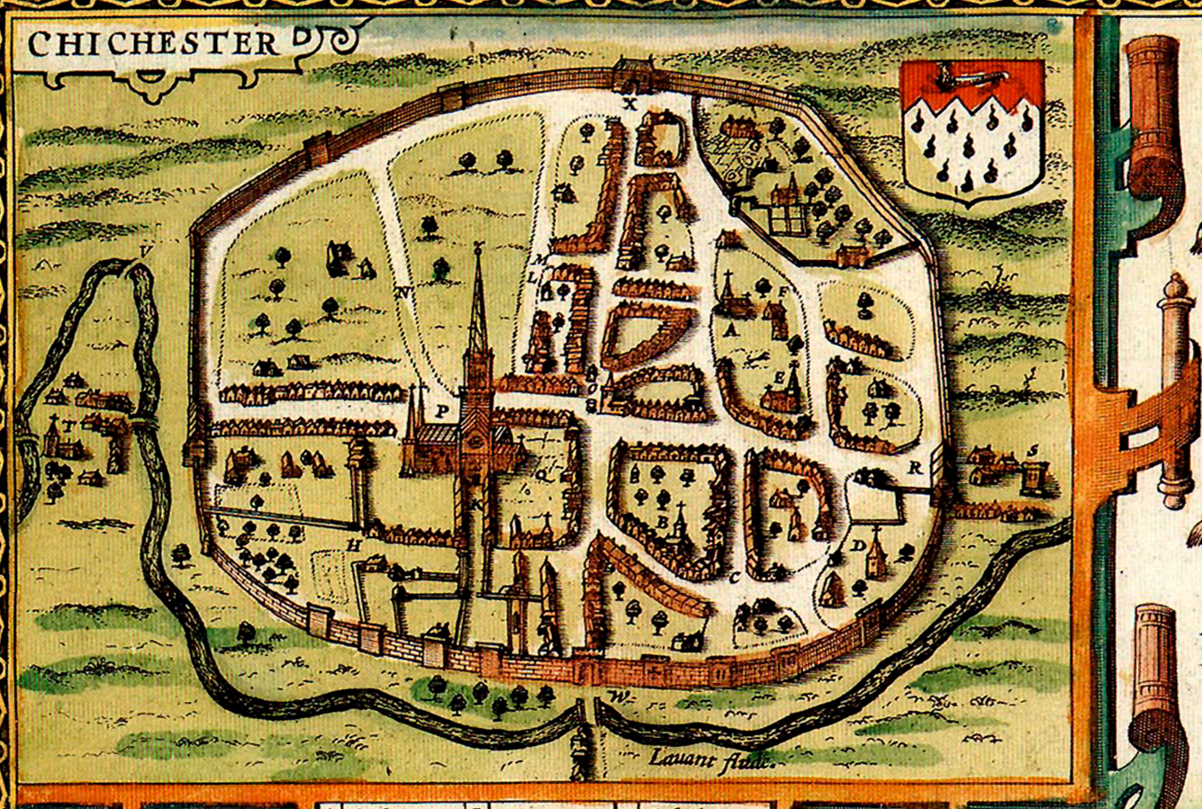
Set into the map is an inset plan of Chichester, described in the title as the county's "cheife citie," one of the roughly fifty English and Welsh town plans that Speed's atlas put into print for the first time anywhere. It shows the Roman and medieval city within its walls, laid out on the cross of its four principal streets around the cathedral at its centre.
Around the map's borders sit coats of arms belonging to the succession of men "dignified with the title of Earles since the Conquest," as the title puts it: the earldom had a broken history, revived more than once, before being re-created in 1529 for Robert Radcliffe, whose descendants held it in unbroken line into Speed's own day — Robert Radclyffe, the 5th Earl, was the sitting holder of the title when the plate was engraved. Speed's border therefore turned Sussex's earldom into a short heraldic record of one family's century-long tenure of the county's leading title.
The map's most dramatic decoration is its small vignette of the Battle of Hastings, fought a few miles from the Sussex coast on 14 October 1066, when William, Duke of Normandy, defeated and killed King Harold II to make good his claim to the English throne — the single most consequential battle in English history, and one Speed chose to illustrate directly on the sheet rather than leave to the accompanying text. The plate's border is further decorated with ships and sea monsters worked into the Channel waters off the coast, in keeping with the atlas's usual maritime ornament.
Later 17th-century editions of the atlas, issued under publishers including George Humble and, from 1676, Thomas Bassett and Richard Chiswell, reused this plate largely unaltered, so surviving hand-coloured impressions still carry the same rapes, Chichester inset, comital arms and Hastings vignette that made the Sussex sheet distinctive from the moment it was first engraved.