Description
***OLD MAP OF THE INVASIONS OF ENGLAND AND IRELAND BY JOHN SPEED***
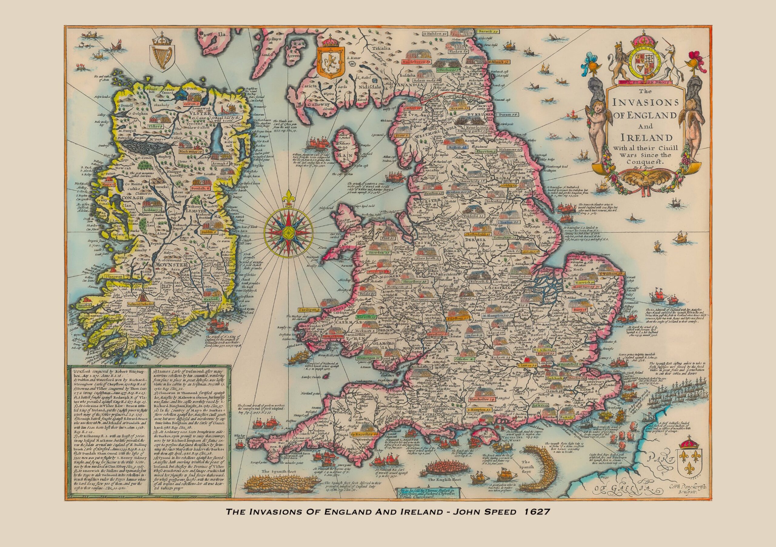
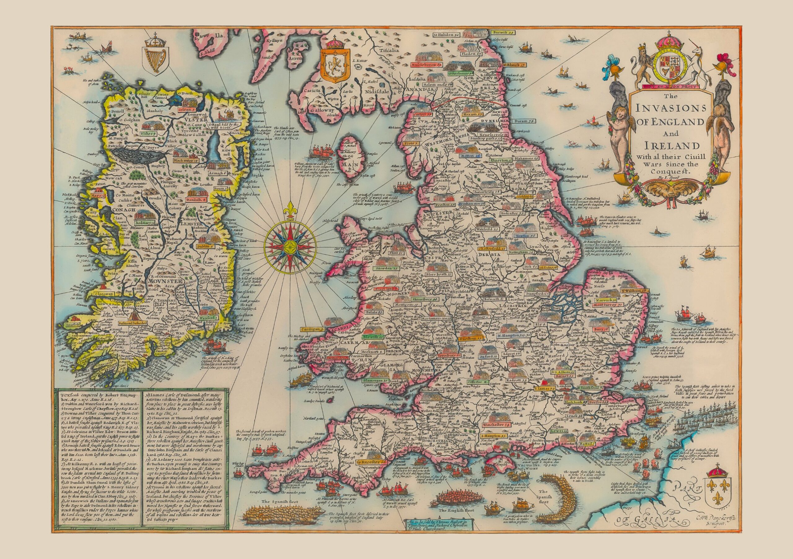
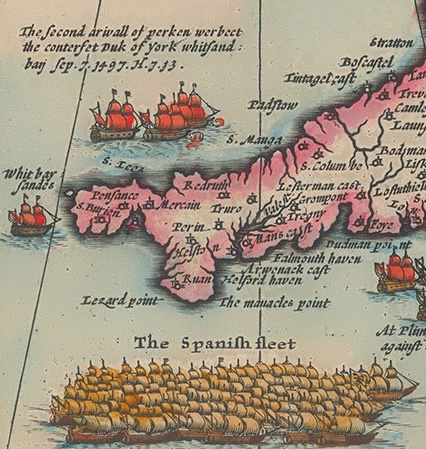
This old map is a reproduction of John Speed’s The Invasions of England and Ireland with al their Ciuill Wars since the Conquest, first issued in atlas form around 1627 and derived from his rare c.1601 wall map. It combines geography with military history, recording more than five centuries of conflict across England, Wales and Ireland, from the Norman Conquest of 1066 to the defeat of the Spanish Armada in 1588. Pictorial troop formations mark the sites of land battles across the countryside, while illustrated fleets show naval clashes along the coasts, including the Spanish and English fleets in the Channel. An ornate title cartouche topped by the royal arms, a compass rose and rhumb lines complete the design, with numbered notes on the Irish campaigns in the lower left corner. This reproduction map is printed on archival paper using giclee printing techniques and should not fade for 75 years. It is supplied unframed, in A2 size only, with the choice of including or omitting the title line beneath the map.
John Speed (1552-1629) is arguably the most famous English cartographer of any period, as a result of his atlas The Theatre of the Empire of Great Britaine. The individual maps are the best known and among the most sought-after of all county maps. The maps themselves were derived from the best and most up-to-date sources available.
However, Speed also made innovations of his own – introducing town plans on many of the maps, including county boundaries on almost all maps and also the coats of arms of local Earls and Dukes as well the Royal Arms. The original maps were printed in monochrome, however proud owners often had their maps hand-coloured. The overall effect is to produce very decorative, attractive and informative maps.
Our old map of the Invasions of England and Ireland is scanned from an original hand-coloured map and includes the marks and blemishes associated with the passing of the years. They are printed on 310 gsm archival quality professional art paper by a state-of-the-art giclee printer using pigment inks. A Certificate of Authenticity is supplied.
John Speed's The Invasions of England and Ireland with al their Ciuill Wars since the Conquest is one of the more unusual sheets associated with his Theatre of the Empire of Great Britaine. Rather than showing a single county or kingdom, it combines a map of England, Wales and Ireland with a history of the battles fought across them. The design is derived from Speed's rare wall map of around 1601 and was issued in atlas form around 1627. The sheet carries the engraver's credit to Cornelis Danckerts at the lower right, and the imprint of Thomas Bassett and Richard Chiswell, who published later editions of the atlas, appears at the foot of the map.
England and Wales fill the right-hand side of the sheet, with Ireland and its four provinces (Ulster, Connaught, Leinster and Munster) on the left. The southern part of Scotland, the Isle of Man and a section of the French coast, lettered "Part of Gallia", complete the coverage. Land battles are marked by small groups of massed troops, each with a coloured label giving the name of the place and a date; sites such as Towton, Bosworth, Barnet and Tewkesbury can be found among them. In the lower left corner a ruled panel lists numbered notes on the conquest and rebellions in Ireland, keyed to the Irish battle sites.
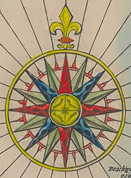
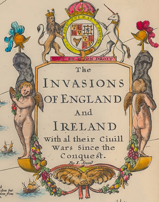
The sea is as busy as the land. Ships are shown at the points where invasions arrived, and a long caption describes each landing. At the foot of the map the Spanish and English fleets of 1588 face each other, the Spanish ships drawn in their crescent formation off the south coast. The ornament is equally rich: the title cartouche is surmounted by the royal arms with the lion and unicorn and the motto "Dieu et mon droit", and is flanked by figures wearing plumed helmets and hung with garlands of fruit. Crowned shields carry the harp of Ireland and the lion of Scotland, and a compass rose with a fleur-de-lis and rhumb lines radiates across the Irish Sea.
Our reproduction is scanned from a hand-coloured original and keeps the marks and blemishes that come with age. It is printed on 310 gsm archival quality art paper using pigment inks and is available in A2 only (594 x 420 mm), unframed. You can choose to include or omit the title line printed beneath the map, and a Certificate of Authenticity is supplied. It is a decorative and informative wall map for anyone with an interest in English, Welsh or Irish history, and it pairs naturally with Speed's county maps.


Reviews
There are no reviews yet.