Description
***OLD MAP OF SCOTLAND BY JOHN SPEED***
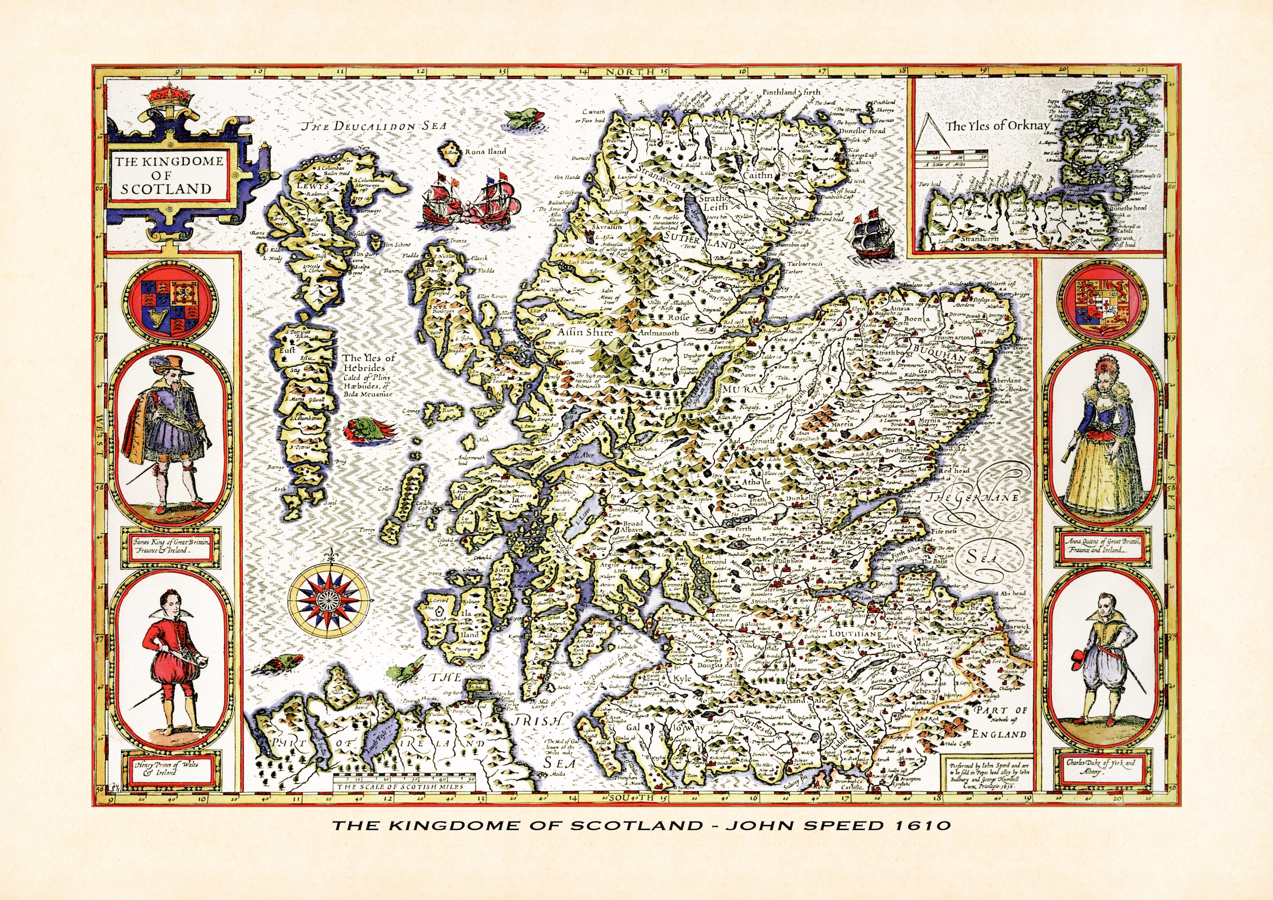
This old map of Scotland is a reproduction of John Speed’s historic map The Kingdome of Scotland, first published in 1610 and later included in his atlas The Theatre of the Empire of Great Britaine. It shows the Scottish mainland with the Hebrides and Western Isles, a separate inset of the Orkney Islands (The Yles of Orknay), a compass rose, sailing ships and sea monsters, and parts of northern England and Ireland. The title cartouche is flanked by decorative portrait panels of King James, Queen Anna, Henry Prince of Wales and Charles Duke of York. This reproduction map is printed on archival paper using giclee printing techniques and should not fade for 75 years. It is supplied unframed, in a range of sizes.
John Speed (1552-1629) is arguably the most famous English cartographer of any period, as a result of his atlas The Theatre of the Empire of Great Britaine. The individual maps are the best known and among the most sought-after of all county maps. The maps themselves were derived from the best and most up-to-date sources available.
However, Speed also made innovations of his own – introducing town plans on many of the maps, including county boundaries on almost all maps and also the coats of arms of local Earls and Dukes as well the Royal Arms. The original maps were printed in monochrome, however proud owners often had their maps hand-coloured. The overall effect is to produce very decorative, attractive and informative maps.
Our old map of Scotland is scanned from an original hand-coloured map and includes the marks and blemishes associated with the passing of the years. They are printed on 310 gsm archival quality professional art paper by a state-of-the-art giclee printer using pigment inks. A Certificate of Authenticity is supplied.
John Speed's The Kingdome of Scotland is the Scottish sheet of his Theatre of the Empire of Great Britaine, the atlas of England, Wales, Scotland and Ireland that did more than any other to fix the printed image of the British Isles. The plate is dated 1610 and the atlas was first published in 1611-12 by John Sudbury and George Humble. The imprint at the lower right of this sheet records that the map was "performed by Iohn Speed" and sold in Popes Head Alley by Sudbury and Humbell, with the royal privilege and the date 1610. As with the rest of the atlas, the engraving is generally attributed to Jodocus Hondius of Amsterdam.
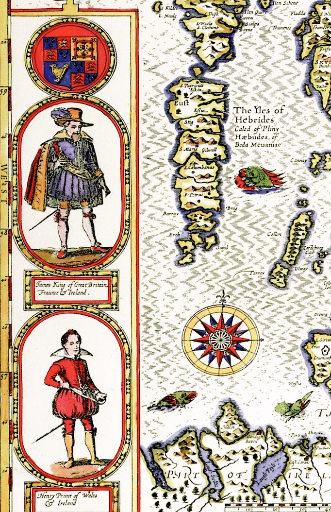
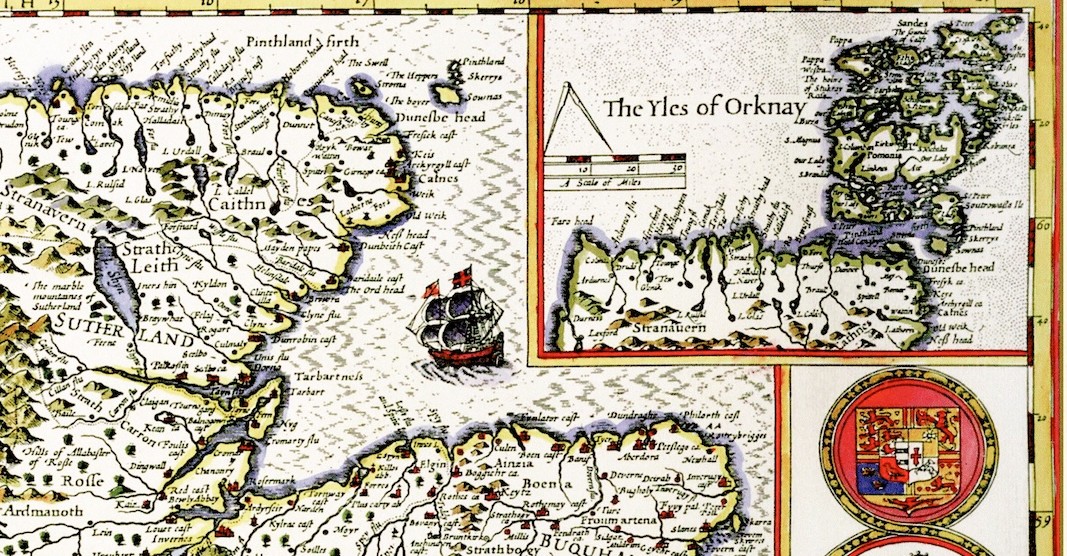
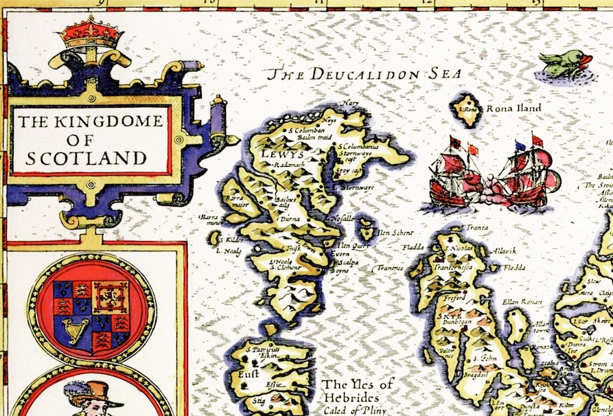
Unlike the English and Welsh counties, Scotland is shown as a single sheet. The mainland fills the centre, the Hebrides and Western Isles run down the left-hand side (lettered "The Yles of Hebrides", with the names given to them by Pliny and Bede), and a separate inset at the top right shows the Orkney Islands ("The Yles of Orknay") with a scale of miles of its own. The country is divided into its historic provinces and shires, in Speed's period spellings — Sutherland, Caithnes, Ross, Muray, Buquhan, Marr, Athole, Argile, Lenox, Louthiane, Tweedale, Liddesdale, Annandale and Galloway among them. To north and south the sheet takes in part of Ireland and part of England, and the surrounding seas are lettered the Deucalidon Sea, the Germane Sea and the Irish Sea. Scotland had not been surveyed to the standard of Saxton's England, so Speed drew on earlier printed maps, and the Highlands and island coasts are more schematic than the settled Lowlands.
The decoration is among the most elaborate in the atlas. A crowned title cartouche, "The Kingdome of Scotland", fills the upper-left corner, and the left and right borders carry four oval portraits, each topped by a roundel of royal arms: King James, styled "King of Great Britaine, Fraunce and Ireland" (James VI of Scotland and I of England), Queen Anna, Henry Prince of Wales and Ireland, and Charles Duke of York and Albany, the future Charles I. Their presence recalls the union of the crowns in 1603, which had made a united Britain a political reality. Sailing ships, sea monsters and a compass rose enliven the western seas, and a scale of Scottish miles runs along the foot of the map.
Our reproduction is scanned from an original hand-coloured example and shows the sheet as it was printed, including the Sudbury and Humble imprint, the heraldry and portraits, and the colouring and marks of age that come with a map more than 400 years old. It makes a striking wall map for anyone with Scottish roots or a fondness for Highland and island geography, and it pairs naturally with Speed's maps of the English and Welsh counties.