Description
***OLD MAP OF WILTSHIRE BY JOHN SPEED***
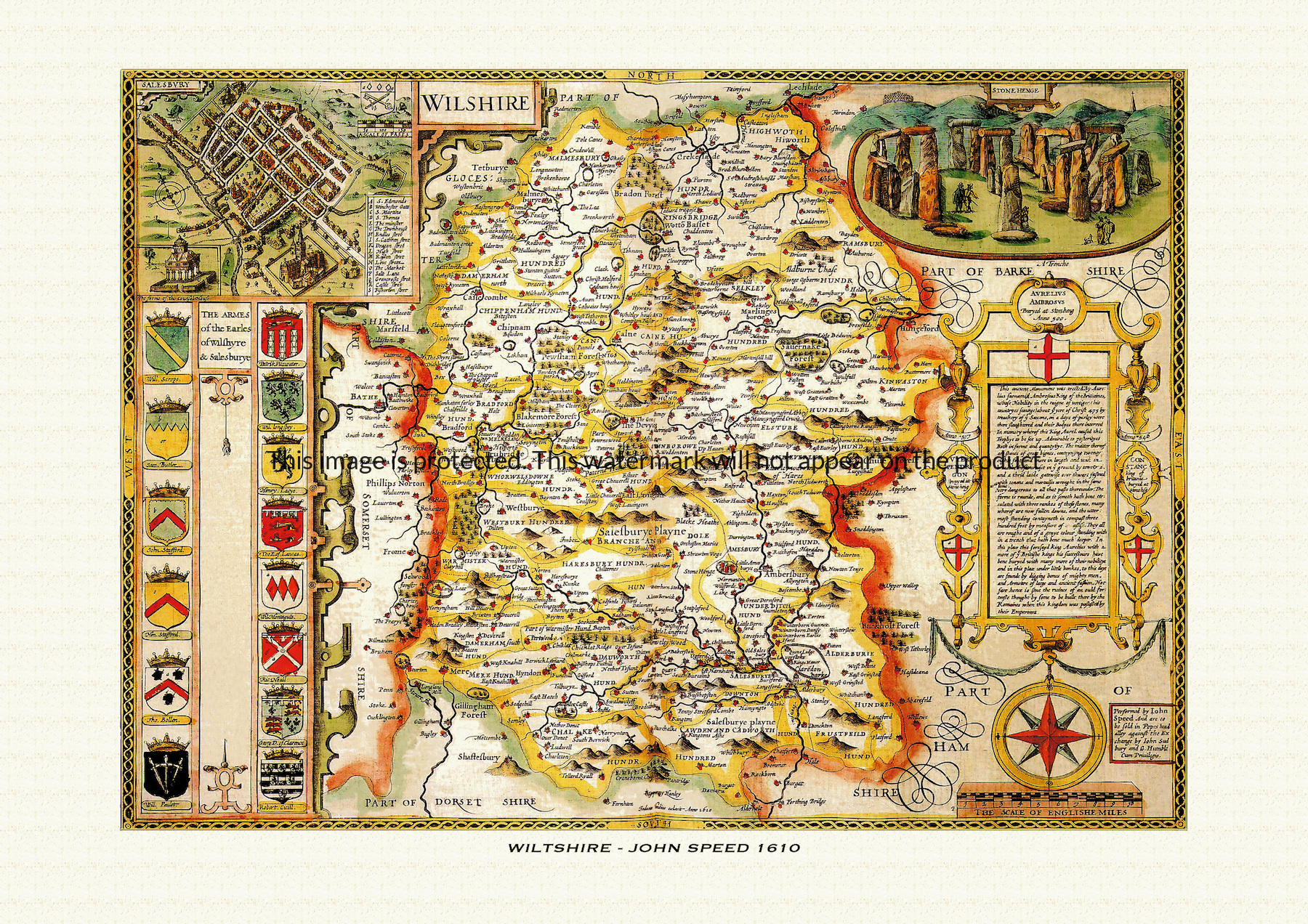
A reproduction of a historic map of Wiltshire by John Speed first published in 1610, featuring Salisbury, Marlborough, Devizes and the standing stones at Stonehenge. This reproduction map is printed on archival paper using giclee printing techniques and should not fade for 75 years. It is supplied unframed, in a range of sizes.
John Speed (1552-1629) is arguably the most famous English cartographer of any period, as a result of his atlas The Theatre of the Empire of Great Britaine. The individual maps are the best known and among the most sought-after of all county maps. The maps themselves were derived from the best and most up-to-date sources available. However, Speed also made innovations of his own – introducing town plans on many of the maps, including county boundaries on almost all maps and also the coats of arms of local Earls and Dukes as well the Royal Arms. The original maps were printed in monochrome, however proud owners often had their maps hand-coloured. The overall effect is to produce very decorative, attractive and informative maps.
Our images are scans of original hand-coloured maps and include the marks and blemishes associated with the passing of the years. They are printed on 310 gsm archival quality professional art paper by a state-of-the-art giclee printer using pigment inks. A Certificate of Authenticity is supplied.
Wiltshire Map - Further information
John Speed's map of Wiltshire appeared in his Theatre of the Empire of Great Britaine, first published in 1611-12, engraved in Amsterdam by Jodocus Hondius as part of the same project that produced every county sheet in the atlas. What sets the Wiltshire plate apart is not its publishing history but the pairing of a working city plan with one of the most striking pieces of antiquarian legend Speed put into print anywhere in the book.
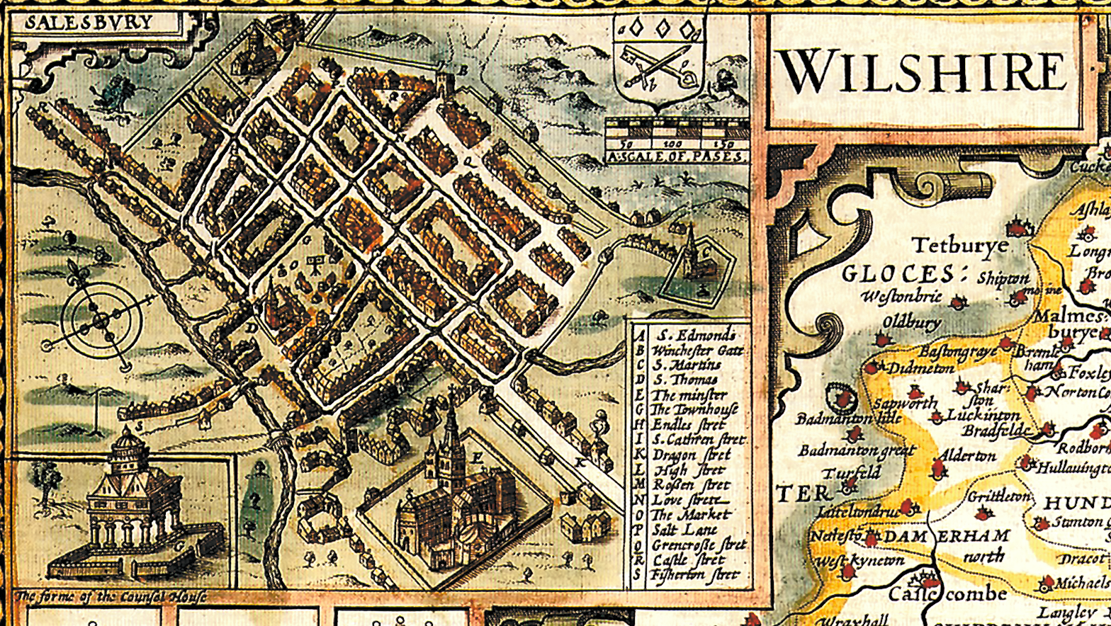
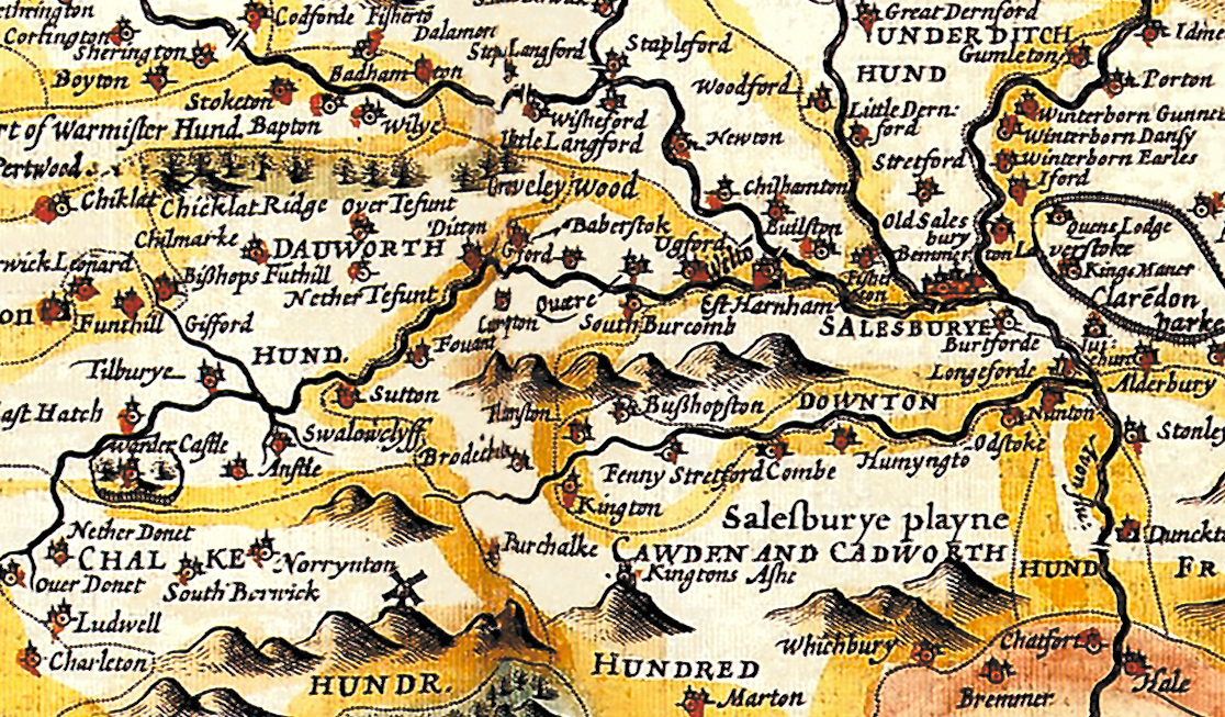
The county is shown divided into its historic hundreds, coloured to distinguish one from another in the manner Speed used across the atlas, with the map's topography built around the headwaters and course of the Wiltshire Avon and its tributaries. Set into the upper left corner is an inset plan of Salisbury, one of the earliest printed street plans of the cathedral city, showing its grid of thoroughfares — some identified by name, including Dragon Street and Love Street — its market place, town hall and the cathedral itself, part of the roughly fifty English and Welsh town plans that Speed's atlas put into general circulation for the first time.
Beneath or beside the Salisbury inset runs a substantial series of shields of arms, described by cataloguers as belonging to the Earls of Wiltshire and of Salisbury — two titles with very different, and at times overlapping, histories. The earldom of Wiltshire had passed through the Scrope, Stafford and Boleyn families, Thomas Boleyn, father of Anne Boleyn, being among its best-known holders, while the earldom of Salisbury ran from the medieval Plantagenet Longespée line through the Montacute and Neville families before being revived only a few years before Speed's atlas was published, in 1605, for Robert Cecil, chief minister to James I. Setting out that run of arms turned the map's margin into a short heraldic record of two of the county's leading titles.
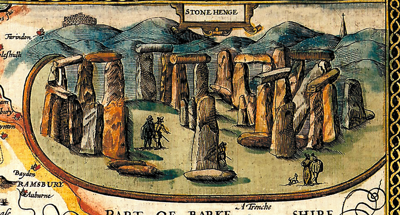
The map's most memorable feature, though, is its treatment of Stonehenge, illustrated in the upper right corner with the great stones drawn large enough to show human figures beside them for scale. Speed's accompanying text repeats the legend, current in his day and ultimately traceable to medieval chroniclers, that the monument was raised around the fifth century AD by Aurelius Ambrosius, a king of the Britons, as a memorial to nobles slain by Saxon treachery — an account that reflects the historical understanding of Speed's own time rather than the true Neolithic origins of the stones, which archaeology would only establish long afterwards.
Later seventeenth-century editions of the atlas, issued under publishers including George Humble, reused this plate largely unaltered, so hand-coloured impressions still carry the same Salisbury plan, the arms of Wiltshire and Salisbury, and the Stonehenge legend that made the Wiltshire sheet one of the atlas's most distinctive county maps.