Description
***OLD MAP OF BRECONSHIRE BY JOHN SPEED***
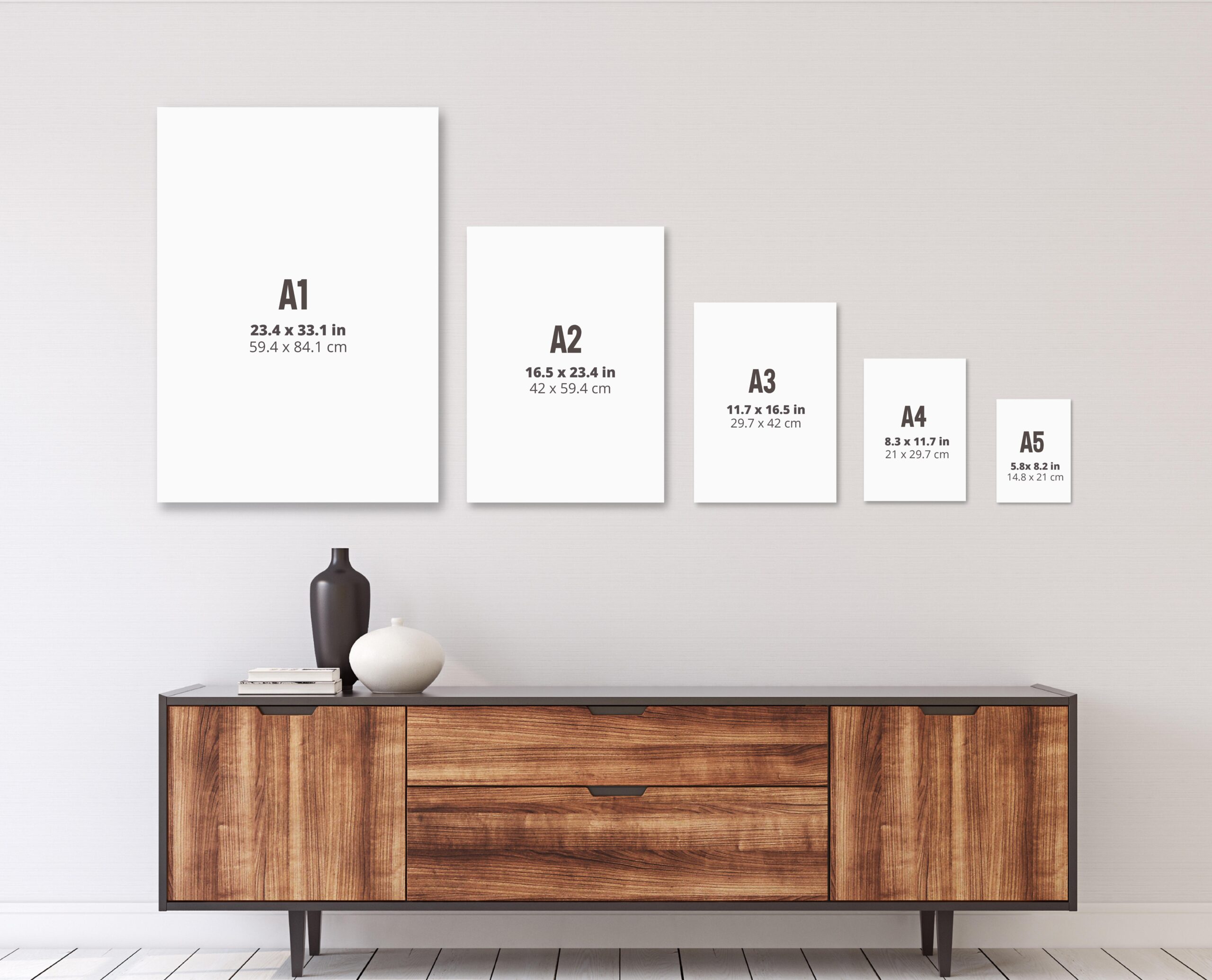
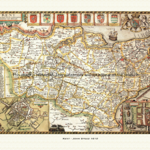
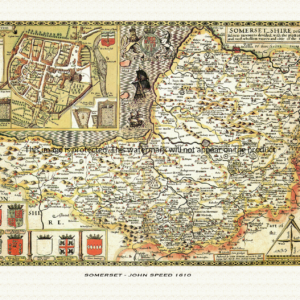
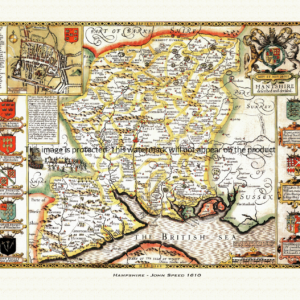
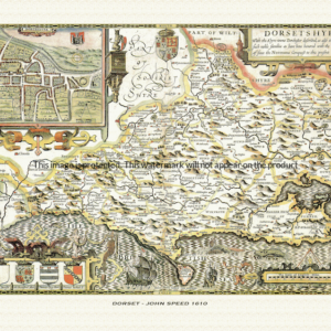
A reproduction of a historic map of Breconshire by John Speed first published in 1610, covering Brecon, Builth Wells and the mountains of the Brecon Beacons. This reproduction map is printed on archival paper using giclee printing techniques and should not fade for 75 years. It is supplied unframed, in a range of sizes.
John Speed (1552-1629) is arguably the most famous English cartographer of any period, as a result of his atlas The Theatre of the Empire of Great Britaine. The individual maps are the best known and among the most sought-after of all county maps. The maps themselves were derived from the best and most up-to-date sources available. However, Speed also made innovations of his own – introducing town plans on many of the maps, including county boundaries on almost all maps and also the coats of arms of local Earls and Dukes as well the Royal Arms. The original maps were printed in monochrome, however proud owners often had their maps hand-coloured. The overall effect is to produce very decorative, attractive and informative maps.
Our images are scans of original hand-coloured maps and include the marks and blemishes associated with the passing of the years. They are printed on 310 gsm archival quality professional art paper by a state-of-the-art giclee printer using pigment inks. A Certificate of Authenticity is supplied.
Breconshire Map - Further information
John Speed's map of Breconshire appeared in his Theatre of the Empire of Great Britaine, first published in 1611-12, with the individual plate engraved in Amsterdam by Jodocus Hondius and dated 1610 on the sheet itself. That publishing history is common to all of Speed's county maps, but Breconshire's plate carries the imprint of a very different kind of lordship to the settled English earldoms shown on most of its neighbouring sheets.
Titled "Breknoke Both Shyre and Towne Described," the map divides the county into its six historic hundreds — Builth, Crickhowell, Devynnock, Merthyr, Penkelly and Talgarth — hundreds only created in 1542, six years after Henry VIII's Laws in Wales Acts merged the old cantref of Buellt with the Lordship of Brecknock to form the shire itself.
That Lordship of Brecknock had a long and turbulent history quite unlike an English county. It was carved out by the Norman adventurer Bernard de Neufmarché, who conquered the Welsh kingdom of Brycheiniog between roughly 1088 and 1095, and it passed by inheritance and marriage through several Marcher families over the following four centuries, eventually coming into the hands of the Staffords, Dukes of Buckingham. When Edward Stafford, 3rd Duke of Buckingham, was executed for treason in 1521, the lordship reverted to the Crown — so that by the time Speed drew his map less than a century later, Breconshire had no resident earl at all.
That absence shows up in the plate's heraldry. Early states of the map are described as carrying the Royal Arms and a cartouche bearing the Prince of Wales's feathers, in keeping with land that belonged to the Crown rather than to any private nobleman. It was only after the Restoration that a specific "Earl of Brecknock" existed to be shown: Charles II created James Butler, Duke of Ormond, Earl of Brecknock in 1660, and later 17th-century impressions of Speed's plate — printings from the 1670s survive with this addition — were updated to add his arms alongside the map's existing shields, turning the heraldic border into a record of the title's own, comparatively recent, creation.
Set into the map is an inset plan of the town of Brecon itself, shown with its own coat of arms, one of the roughly fifty English and Welsh town plans that Speed's atlas put into print for the first time anywhere.
Later 17th-century editions of the atlas, issued under publishers including Thomas Bassett and Richard Chiswell, reused the plate with only these incremental heraldic updates, so surviving impressions of the Breconshire sheet still trace, in miniature, the county's journey from independent Marcher lordship to a shire administered from Westminster.