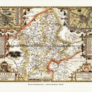
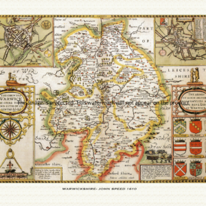
Every historic map on this site comes from a curated collection – a set of maps we’ve chosen and reproduced because we think they’re genuinely worth hanging on a wall. Each collection is built around its own cartographer, period, or region, so the character varies from one to the next, but the standard doesn’t: every print is reproduced on archival paper using giclee printing techniques, in a range of sizes, and makes a memorable gift for anyone with a connection to the place depicted.
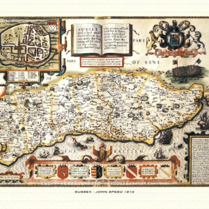
A reproduction of a historic map of Sussex by John Speed first published in 1610. This reproduction map is printed on archival paper using giclee printing techniques and should not fade for 75 years. It is supplied unframed, in a range of sizes.
A Certificate of Authenticity is supplied.
Select options
This product has multiple variants. The options may be chosen on the product page
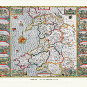
Historic 1610 map of Wales by John Speed, showing all thirteen Welsh counties with town-plan insets and the four cathedral cities. Giclée print, archival paper, A3–A1 sizes.
Select options
This product has multiple variants. The options may be chosen on the product page
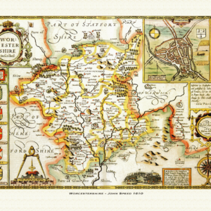
Historic 1610 map of Worcestershire by John Speed, featuring Worcester, Evesham and the Malvern Hills. Giclée print, A3–A1.
Select options
This product has multiple variants. The options may be chosen on the product page
Manage Consent
To provide the best experiences, we use technologies like cookies to store and/or access device information. Consenting to these technologies will allow us to process data such as browsing behaviour or unique IDs on this site. Not consenting or withdrawing consent, may adversely affect certain features and functions.
Functional
Always active
The technical storage or access is strictly necessary for the legitimate purpose of enabling the use of a specific service explicitly requested by the subscriber or user, or for the sole purpose of carrying out the transmission of a communication over an electronic communications network.
Preferences
The technical storage or access is necessary for the legitimate purpose of storing preferences that are not requested by the subscriber or user.
Statistics
The technical storage or access that is used exclusively for statistical purposes.The technical storage or access that is used exclusively for anonymous statistical purposes. Without a subpoena, voluntary compliance on the part of your Internet Service Provider, or additional records from a third party, information stored or retrieved for this purpose alone cannot usually be used to identify you.
Marketing
The technical storage or access is required to create user profiles to send advertising, or to track the user on a website or across several websites for similar marketing purposes.