Description
***OLD MAP OF BERKSHIRE BY JOHN SPEED***
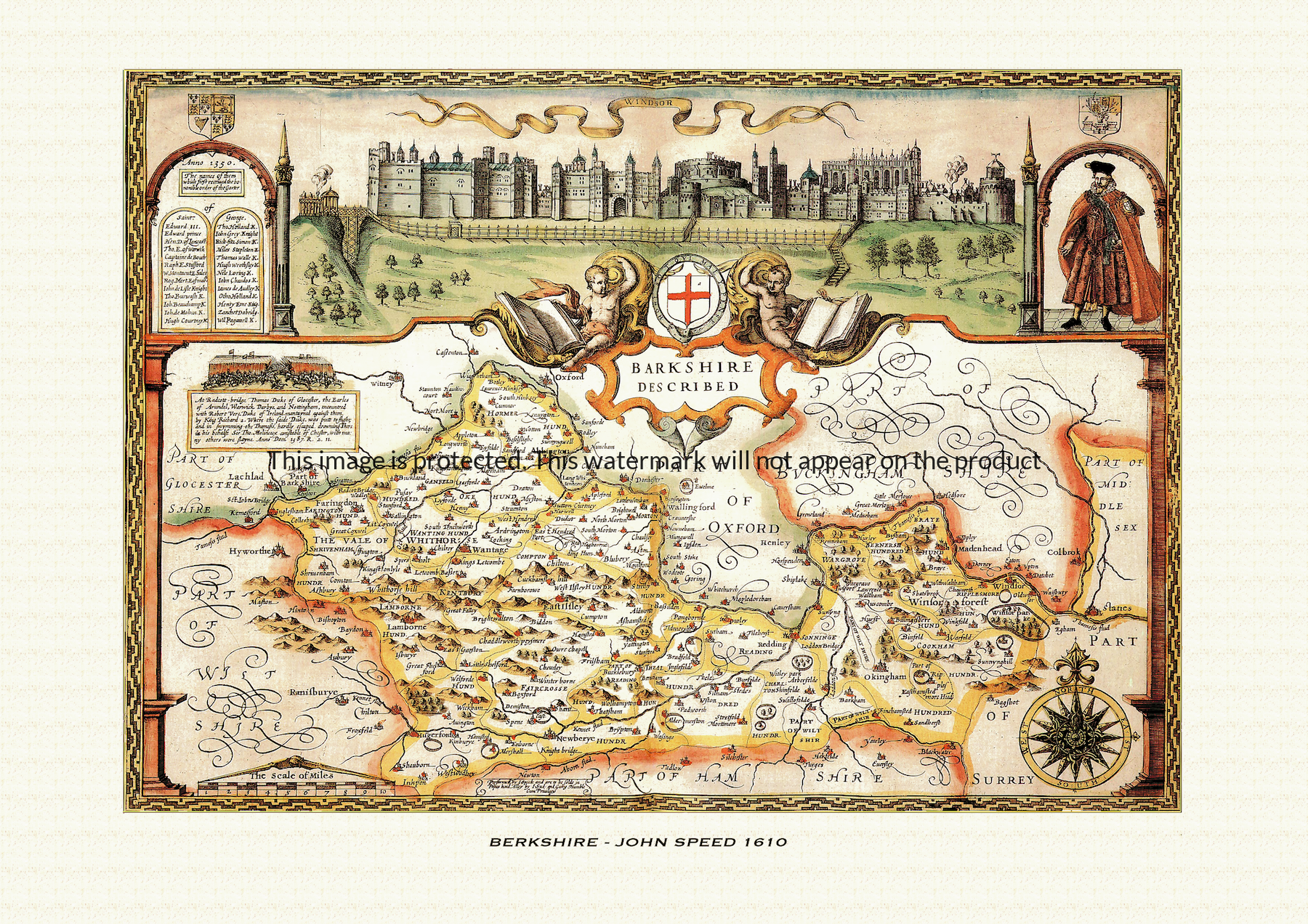
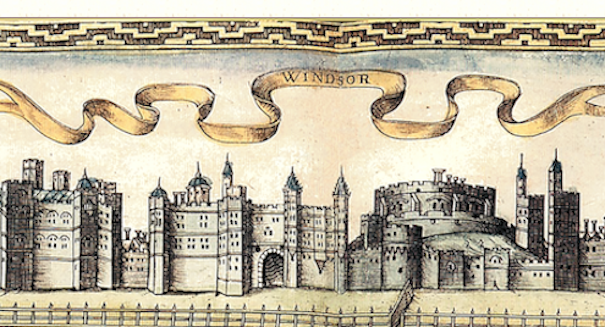
A reproduction of a historic map of Berkshire by John Speed first published in 1610, dominated by a view of Windsor Castle and taking in Reading and Newbury along the River Thames. This reproduction map is printed on archival paper using giclee printing techniques and should not fade for 75 years. It is supplied unframed, in a range of sizes.
John Speed (1552-1629) is arguably the most famous English cartographer of any period, as a result of his atlas The Theatre of the Empire of Great Britaine. The individual maps are the best known and among the most sought-after of all county maps. The maps themselves were derived from the best and most up-to-date sources available. However, Speed also made innovations of his own – introducing town plans on many of the maps, including county boundaries on almost all maps and also the coats of arms of local Earls and Dukes as well the Royal Arms. The original maps were printed in monochrome, however proud owners often had their maps hand-coloured. The overall effect is to produce very decorative, attractive and informative maps.
Our images are scans of original hand-coloured maps and include the marks and blemishes associated with the passing of the years. They are printed on 310 gsm archival quality professional art paper by a state-of-the-art giclee printer using pigment inks. A Certificate of Authenticity is supplied.
Berkshire Map - Further information
John Speed's map of Berkshire appeared in his Theatre of the Empire of Great Britaine, first published in 1611-12, with the individual plate engraved in Amsterdam by Jodocus Hondius. That publishing history is common to every county in the atlas, but the Berkshire sheet puts its decorative energy somewhere unusual: rather than a genealogy of local landowners, Speed built the map around a single royal building and the order of chivalry that grew up around it.
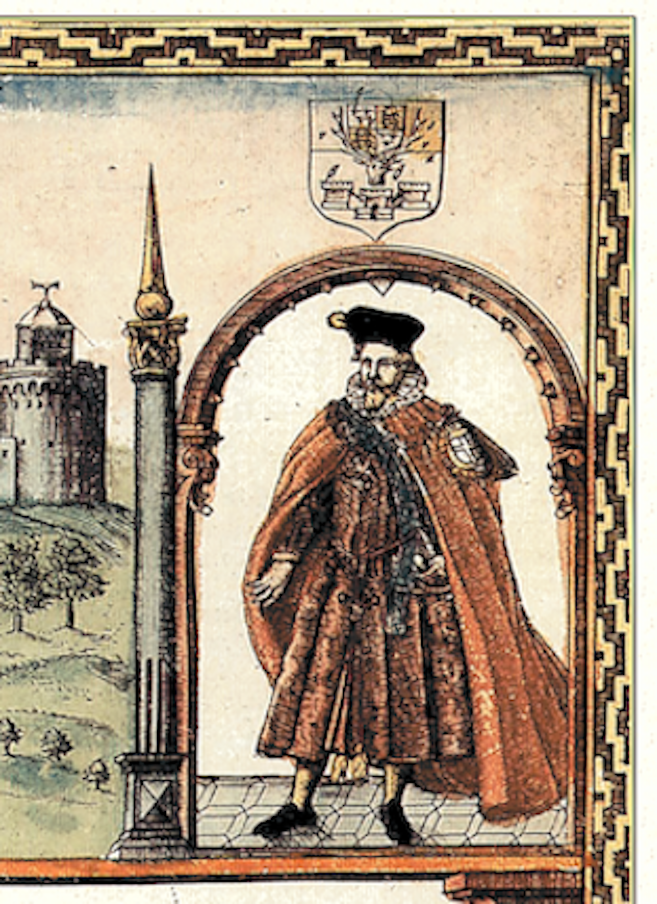
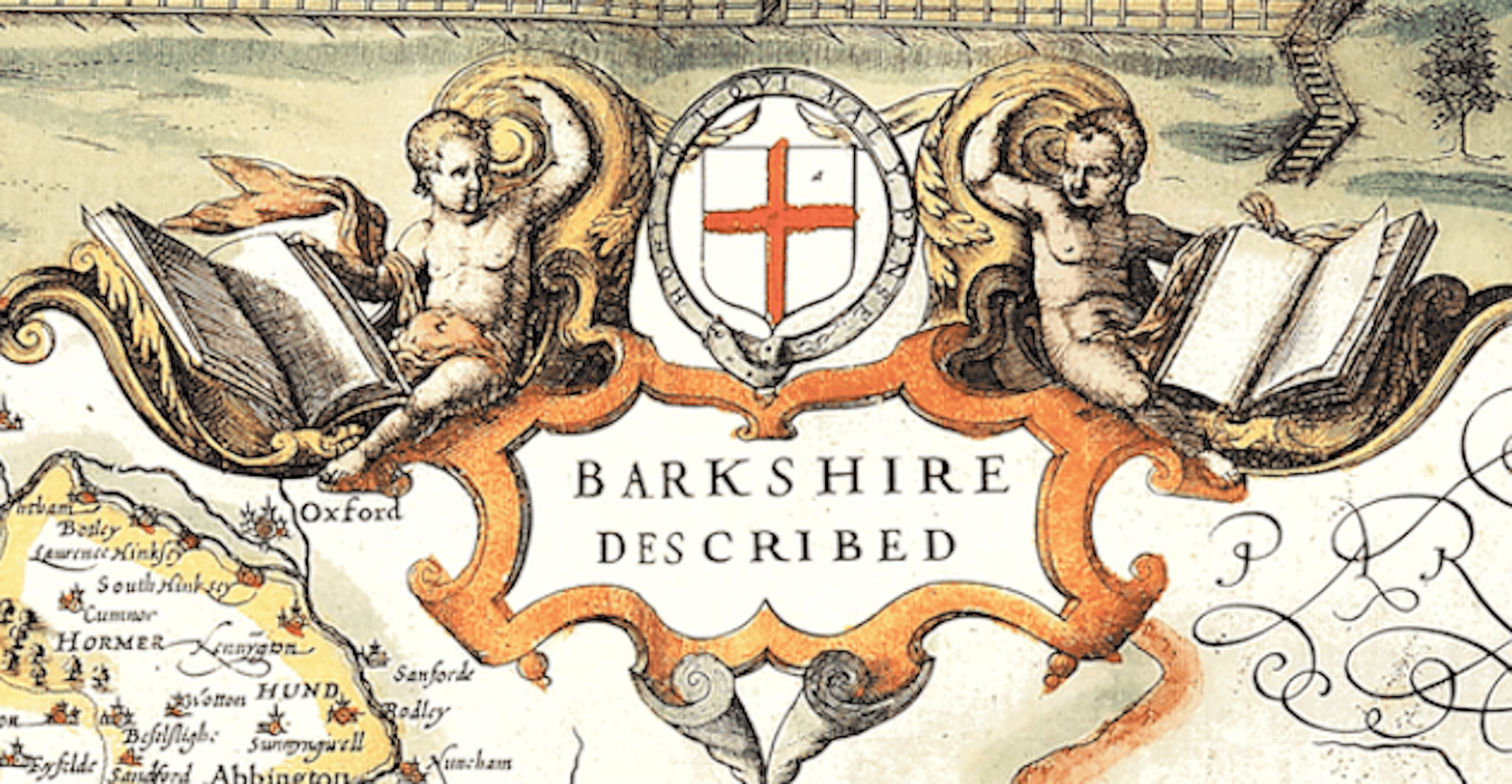
Dominating the plate is a large prospect of Windsor Castle, shown as a panorama rather than tucked into a corner as Speed's town plans usually are. The castle had been a favourite residence of the Plantagenet kings since the twelfth century, and it was here, in 1348, that Edward III founded the Order of the Garter, England's oldest and most senior order of chivalry — traditionally after a lady's garter slipped at court and the king took up her side with the words "Honi soit qui mal y pense," shame on him who thinks evil of it, which became the order's motto. Speed marks that history directly on the sheet with a portrait of Edward III as founder and a figure shown wearing the robes of a Garter knight, alongside a printed list of the order's original companions.
The map's border also carries seven shields of arms. Surviving descriptions of the plate do not agree on exactly whose achievements these represent, and no single documented source ties them to a named line of local earls in the way Speed's other county maps often do; what is clear is that, unlike Herefordshire's sequence of arms tracing an earldom's descent, Berkshire's heraldry sits alongside the Garter knight as part of the same chivalric theme, reinforcing Windsor's status rather than recording a family history.
Because so much of the plate is given over to the castle and the order associated with it, Berkshire is one of the few English counties in Speed's atlas without a separate inset town plan of its own. The county's other principal town, Reading, with its once-great abbey, appears only within the general topography, and the map instead traces the Thames along the county's northern edge and the Kennet running down through the middle, with the shire's hundreds picked out in the coloured washes Speed used throughout the atlas to distinguish local divisions of justice and administration.
Later seventeenth-century editions of the atlas, issued under publishers including George Humble, reused this plate with little change, so hand-coloured impressions from later print runs still show the same panorama of Windsor, the Garter knight and the founder's portrait that made the Berkshire sheet distinctive among Speed's county maps from the outset.