Description
***OLD MAP OF DORSET BY JOHN SPEED***
A reproduction of a historic map of Dorset by John Speed first published in 1610, covering Dorchester, Poole, Weymouth and the Jurassic Coast. This reproduction map is printed on archival paper using giclee printing techniques and should not fade for 75 years. It is supplied unframed, in a range of sizes.
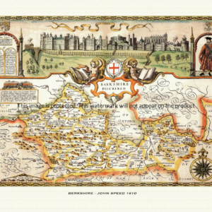
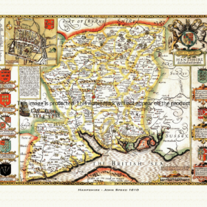
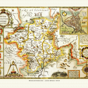
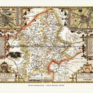
John Speed (1552-1629) is arguably the most famous English cartographer of any period, as a result of his atlas The Theatre of the Empire of Great Britaine. The individual maps are the best known and among the most sought-after of all county maps. The maps themselves were derived from the best and most up-to-date sources available. However, Speed also made innovations of his own – introducing town plans on many of the maps, including county boundaries on almost all maps and also the coats of arms of local Earls and Dukes as well the Royal Arms. The original maps were printed in monochrome, however proud owners often had their maps hand-coloured. The overall effect is to produce very decorative, attractive and informative maps.
Our images are scans of original hand-coloured maps and include the marks and blemishes associated with the passing of the years. They are printed on 310 gsm archival quality professional art paper by a state-of-the-art giclee printer using pigment inks. A Certificate of Authenticity is supplied.
Dorset Map - Further information
John Speed's map of Dorset appeared in his Theatre of the Empire of Great Britaine, first published in 1611-12, with the individual plate engraved in Amsterdam by Jodocus Hondius and dated 1610 on the sheet itself. That publishing history is common to all of Speed's county maps, but Dorset's plate is unusual in announcing its own heraldic ambitions right in its title.
The full title reads: "Dorsetshyre. With the Shyre-towne Dorchester described, as also the Armes of such noble families as have bene honored with the Titles thereof since the Normans Conquest to this present Anno 1610." Where most of Speed's county maps simply carry a place-name title and leave the coats of arms to speak for themselves in the border, the Dorset plate makes the display of comital heraldry part of its own stated subject.
That title reflects a genuinely eventful history behind the earldom of Dorset. It was held, on uncertain and late authority, by the Anglo-Saxon bishop Osmund around 1070; revived in 1411 for Thomas Beaufort, who was soon elevated to Duke of Exeter and let the earldom lapse; recreated in 1441 for Edmund Beaufort, who was advanced further still to Marquess of Dorset in 1442 and Duke of Somerset in 1446, before the family's titles were forfeited in 1464 during the Wars of the Roses; and created for a fourth time in 1604 for Thomas Sackville, 1st Baron Buckhurst — a cousin of Elizabeth I and her last Lord Treasurer — only six years before Speed's plate was engraved. The map's cartouche of arms therefore traced a title that had been created, forfeited and recreated across five and a half centuries, ending with a creation still fresh news when the sheet first went to press.
Dorset itself is shown carved into its historic hundreds — considerably more numerous than the eleven of Herefordshire, since the county was divided into several dozen hundreds and liberties by the medieval period — a level of local detail typical of Speed's working maps beneath their decoration.
Set into the map is a plan of Dorchester, the county town named in the title itself, one of the roughly fifty English and Welsh town plans that Speed's atlas put into print for the first time anywhere, showing the streets of the ancient Roman and county town in detail.
Later 17th-century editions of the atlas, issued under publishers including George Humble and, later, Thomas Bassett and Richard Chiswell, reused the plate largely unaltered, so surviving hand-coloured impressions of the Dorset sheet still carry the same Dorchester inset and the same self-declared parade of comital arms that made it distinctive from the moment it was first engraved.