Description
***OLD MAP OF STAFFORDSHIRE BY JOHN SPEED***
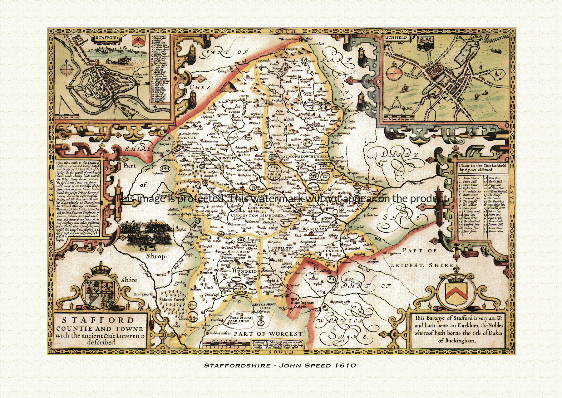
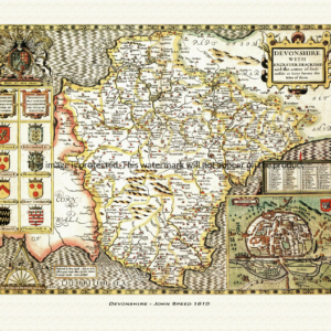
A reproduction of a historic map of Staffordshire by John Speed first published in 1610, taking in Stafford, Lichfield and the Potteries around Stoke-on-Trent. This reproduction map is printed on archival paper using giclee printing techniques and should not fade for 75 years. It is supplied unframed, in a range of sizes.
John Speed (1552-1629) is arguably the most famous English cartographer of any period, as a result of his atlas The Theatre of the Empire of Great Britaine. The individual maps are the best known and among the most sought-after of all county maps. The maps themselves were derived from the best and most up-to-date sources available. However, Speed also made innovations of his own – introducing town plans on many of the maps, including county boundaries on almost all maps and also the coats of arms of local Earls and Dukes as well the Royal Arms. The original maps were printed in monochrome, however proud owners often had their maps hand-coloured. The overall effect is to produce very decorative, attractive and informative maps.
Our images are scans of original hand-coloured maps and include the marks and blemishes associated with the passing of the years. They are printed on 310 gsm archival quality professional art paper by a state-of-the-art giclee printer using pigment inks. A Certificate of Authenticity is supplied.
Staffordshire Map - Further information
John Speed's map of Staffordshire appeared in his Theatre of the Empire of Great Britaine, first published in 1611-12, with the individual plate engraved in Amsterdam by Jodocus Hondius and generally dated 1610 on the sheet itself. That publishing history is common to all of Speed's county maps, but the Staffordshire plate — titled "Stafford Countie and Towne with the ancient Citie Lichfield described" — carries a set of features that belong to it alone.
The map divides Staffordshire into its five historic hundreds — Cuttlestone, Offlow, Pirehill, Seisdon and Totmonslow — each picked out so a reader could see at a glance how the shire's government and justice were parcelled out on the ground. Unusually, Speed gave the county two town insets rather than one: a plan of Stafford itself, the county town, and a separate plan of Lichfield, the "ancient citie" of the map's title and seat of its cathedral, together forming part of a set of roughly fifty English and Welsh town plans that Speed's atlas put into print for the first time anywhere.
The map's most striking decoration is a vignette and short description of the Battle of Blore Heath, fought in the north of the county on 23 September 1459. It was one of the opening clashes of the Wars of the Roses: a Yorkist force under Richard Neville, Earl of Salisbury, feigned a retreat across a brook to draw out the cavalry of a larger Lancastrian army commanded by James Touchet, Lord Audley, then turned and cut it to pieces as it crossed. Audley was killed in the fighting, along with an estimated two thousand of his men, and the Yorkist victory helped keep Salisbury's army in the field in the lead-up to the rout at Ludford Bridge weeks later.
Around the map's borders sit coats of arms which, on this sheet, are traditionally associated with the Stafford family — earls of Stafford and, from 1444, dukes of Buckingham — whose name the county town shares and who held estates across the shire for much of the later Middle Ages, before the third duke's execution in 1521 brought the line's fortunes to an abrupt end.
Later seventeenth-century editions of the atlas, issued under publishers including George Humble, reused this plate largely unaltered, so surviving hand-coloured impressions still carry the same hundreds, town insets and battle vignette that made the Staffordshire sheet distinctive from the moment it was first engraved.