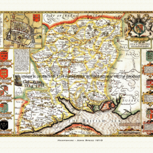
Description
***OLD MAP OF GLOUCESTERSHIRE BY JOHN SPEED***
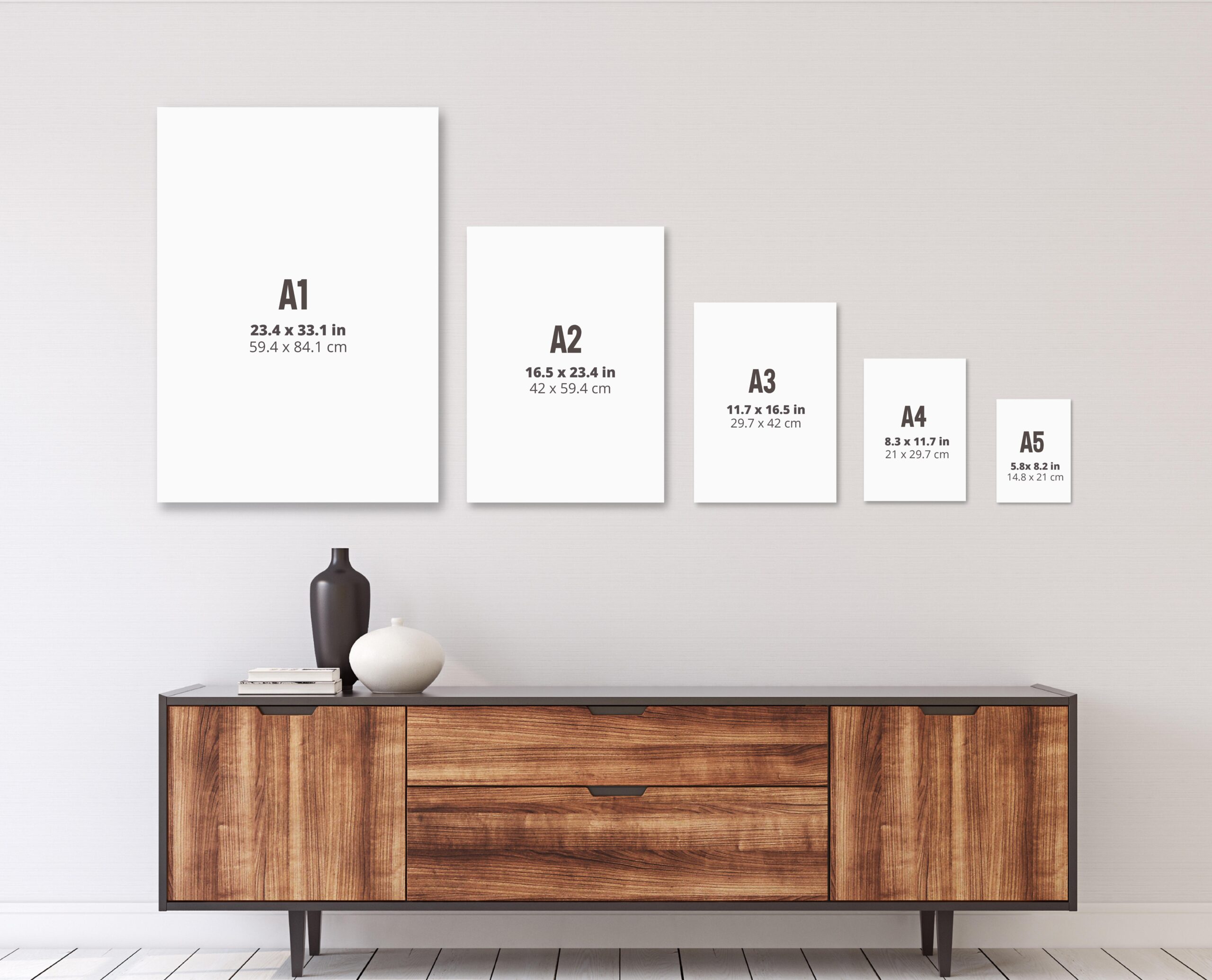
A reproduction of a historic map of Gloucestershire by John Speed first published in 1610, covering Gloucester, Cheltenham, Tewkesbury and the northern Cotswolds. This reproduction map is printed on archival paper using giclee printing techniques and should not fade for 75 years. It is supplied unframed, in a range of sizes.
John Speed (1552-1629) is arguably the most famous English cartographer of any period, as a result of his atlas The Theatre of the Empire of Great Britaine. The individual maps are the best known and among the most sought-after of all county maps. The maps themselves were derived from the best and most up-to-date sources available. However, Speed also made innovations of his own – introducing town plans on many of the maps, including county boundaries on almost all maps and also the coats of arms of local Earls and Dukes as well the Royal Arms. The original maps were printed in monochrome, however proud owners often had their maps hand-coloured. The overall effect is to produce very decorative, attractive and informative maps.
Our images are scans of original hand-coloured maps and include the marks and blemishes associated with the passing of the years. They are printed on 310 gsm archival quality professional art paper by a state-of-the-art giclee printer using pigment inks. A Certificate of Authenticity is supplied.
Gloucestershire Map - Further information
John Speed's map of Gloucestershire appeared in his Theatre of the Empire of Great Britaine, first published in 1611-12, with the individual plate engraved in Amsterdam by Jodocus Hondius. That publishing history is shared across the atlas, but the Gloucestershire sheet is one of its most densely packed, carrying two town insets, a run of heraldic shields and two separate historical vignettes.
Speed's own accompanying text describes the county as divided into four principal divisions, further broken down into some thirty hundreds, an unusually fine-grained pattern of local government even by the standards of the atlas. The plate itself picks out this patchwork of hundreds in colour wash across the sheet, with the River Severn running the length of the county and the Cotswold high ground rising along its eastern side.
Two town insets are set into the corners of the map. In the upper left is Gloucester, keyed to some twenty-six churches, gates and streets of the city; in the lower right is Bristol, given its own separate plan and key. Bristol's inclusion as a full inset in its own right reflects its unusual status as a city and county separate from the shrievalty of Gloucestershire, much as Coventry appears alongside Warwick on Speed's Warwickshire plate.
In one corner sit the royal arms of James I beneath the motto Dieu et Mon Droit, and around them a row of shields — reported as fourteen in number, with a couple left blank on the plate — belonging to the succession of men who held the earldom, and later the dukedom, of Gloucester across the centuries: from Robert of Gloucester, illegitimate son of Henry I and the first to hold the title after the Conquest, through the de Clare earls of the thirteenth century, to Thomas of Woodstock, Duke of Gloucester, and, in the next century, Humphrey, "Good Duke Humphrey", the younger son of Henry IV.
The map's lower corner carries two separate historical scenes rather than one. The first shows the legendary single combat between Canute the Dane and the Saxon king Edmund Ironside, traditionally said to have been fought, or at least agreed, near Deerhurst on the Severn in Gloucestershire in 1016, when the two rivals for the English crown are said to have divided the kingdom between them rather than let the fight run to its conclusion. The second depicts the Battle of Tewkesbury of 1471, the decisive Yorkist victory of Edward IV over Margaret of Anjou's Lancastrian army that effectively ended the first phase of the Wars of the Roses, and which is noted as one of the earliest scenes in the whole atlas to show soldiers armed with firearms. Between them, the two vignettes draw on Gloucestershire episodes some four and a half centuries apart.
Later editions of the atlas, issued under Sudbury and Humble and, later in the century, under Bassett and Chiswell, reprinted the Gloucestershire plate largely unaltered, so surviving hand-coloured impressions still carry the same insets, arms and paired battle scenes that distinguished the sheet from the moment it was first engraved.