Description
OLD MAP OF KENT BY JOHN SPEED
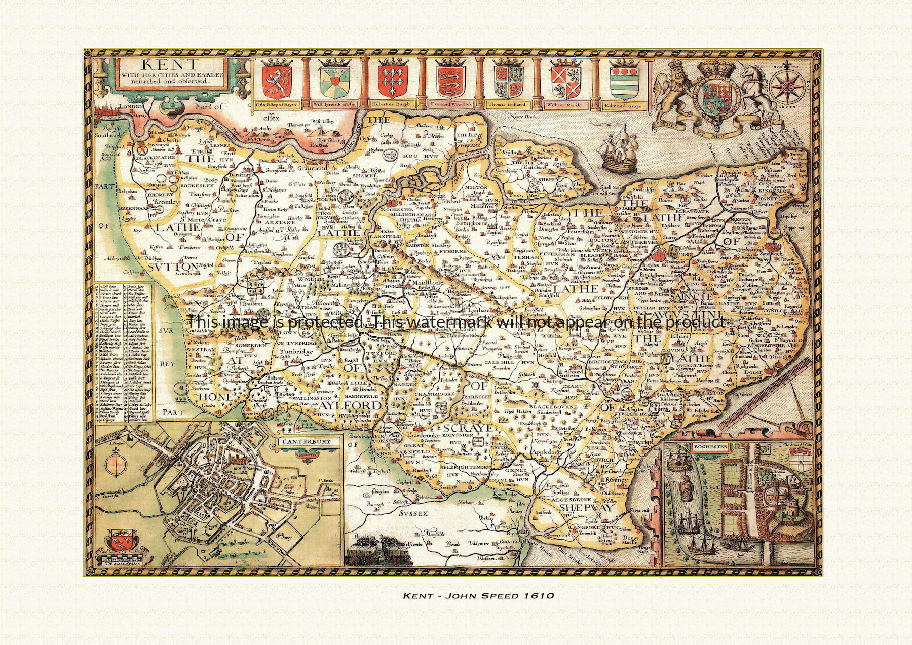
A reproduction of a historic map of Kent by John Speed first published in 1610, taking in Canterbury, Dover, Rochester and Maidstone. This reproduction map is printed on archival paper using giclee printing techniques and should not fade for 75 years. It is supplied unframed, in a range of sizes.
John Speed (1552-1629) is arguably the most famous English cartographer of any period, as a result of his atlas The Theatre of the Empire of Great Britaine. The individual maps are the best known and among the most sought-after of all county maps. The maps themselves were derived from the best and most up-to-date sources available.
Speed also made innovations of his own – introducing town plans on many of the maps, including county boundaries on almost all maps and also the coats of arms of local Earls and Dukes as well the Royal Arms. The original maps were printed in monochrome, however proud owners often had their maps hand-coloured. The overall effect is to produce very decorative, attractive and informative maps.
This old map of Kent is a scan of an original hand-coloured map, and include the marks and blemishes associated with the passing of the years. They are printed on 310 gsm archival quality professional art paper by a state-of-the-art giclee printer using pigment inks. A Certificate of Authenticity is supplied.
Kent Map - Further information
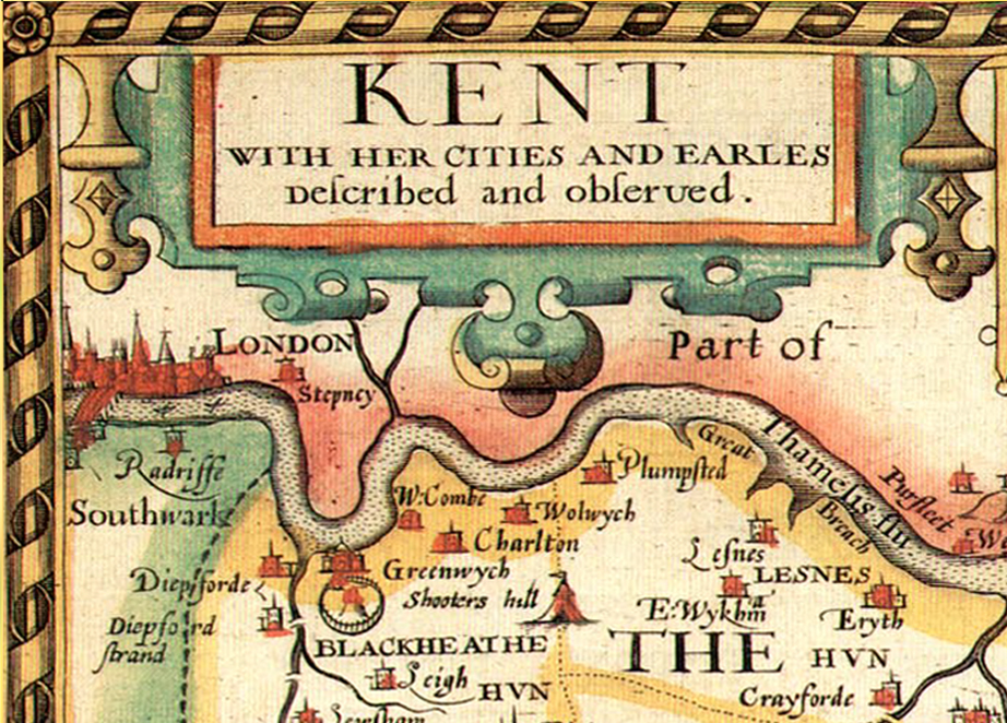
John Speed's map of Kent appeared in his Theatre of the Empire of Great Britaine, first published in 1611-12, with the plate engraved in Amsterdam by Jodocus Hondius under the full title "Kent, with her Cities and Earles described and observed." That fuller title is itself a clue to what makes the Kent sheet distinctive: alongside the shire's geography, Speed set out to record both its ancient administrative structure and the long, fractured history of its earldom.
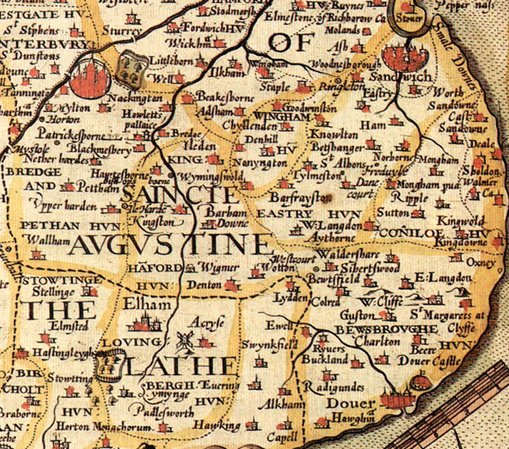
Unlike most English counties in the atlas, which Speed divides into hundreds, Kent is shown split into its five lathes — Sutton-at-Hone, Aylesford, Scray, Shepway and St Augustine — an older system of land division, thought to have Jutish or early Saxon origins, that survived in Kent long after most of England had adopted the hundred. Each lathe grouped a number of hundreds beneath it, and Speed's use of the older term on this one map underlines how distinct Kent's local government remained from its neighbours.
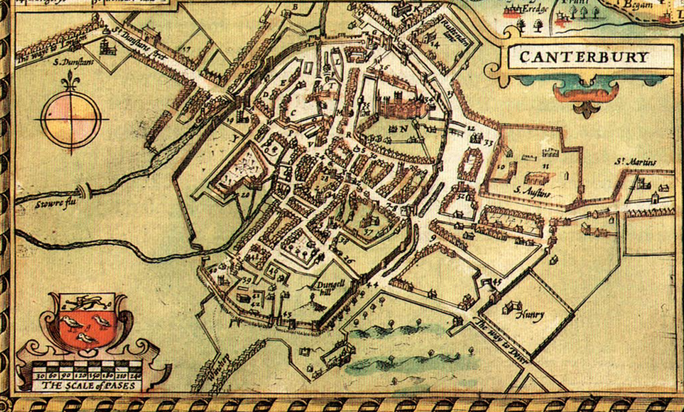
Two town plans are set into the lower corners of the sheet: Canterbury, shown with its cathedral, and Rochester, shown with its Norman castle, the two ecclesiastical and strategic centres of the county. The map's descriptive text dwells particularly on Canterbury Cathedral and the shrine of Thomas Becket, murdered there in 1170, which before the Reformation had drawn pilgrims from across Europe.
The map's border also carries shields of arms tied to the earldom of Kent, a title with an unusually turbulent history: first held after the Norman Conquest by Odo of Bayeux, William the Conqueror's half-brother, who was later stripped of his lands for defrauding the crown, then re-created for Hubert de Burgh, King John's justiciar, in the thirteenth century, and later still for Edmund of Woodstock, a son of Edward I, whose descendants included the Holland family before the line died out in 1408. By the time Speed was drawing his map the title had passed to the Grey family, created Earls of Kent in 1465 and still holding it in the early seventeenth century — so the shields set around the Kent plate trace one of the most eventful successions of any English earldom.
Kent's long, castle-studded coastline, home to the medieval Cinque Ports that once supplied ships and men for the crown's defence, is also given close attention on the sheet, with Speed's accompanying description noting the county's unusually high number of castles and market towns. Later seventeenth-century editions of the atlas, issued under publishers including George Humble, reused this plate largely unaltered, so surviving hand-coloured impressions still carry the same lathes, town plans and armorial border that distinguished the Kent sheet from its neighbours.