Description
***OLD MAP OF WALES BY JOHN SPEED***
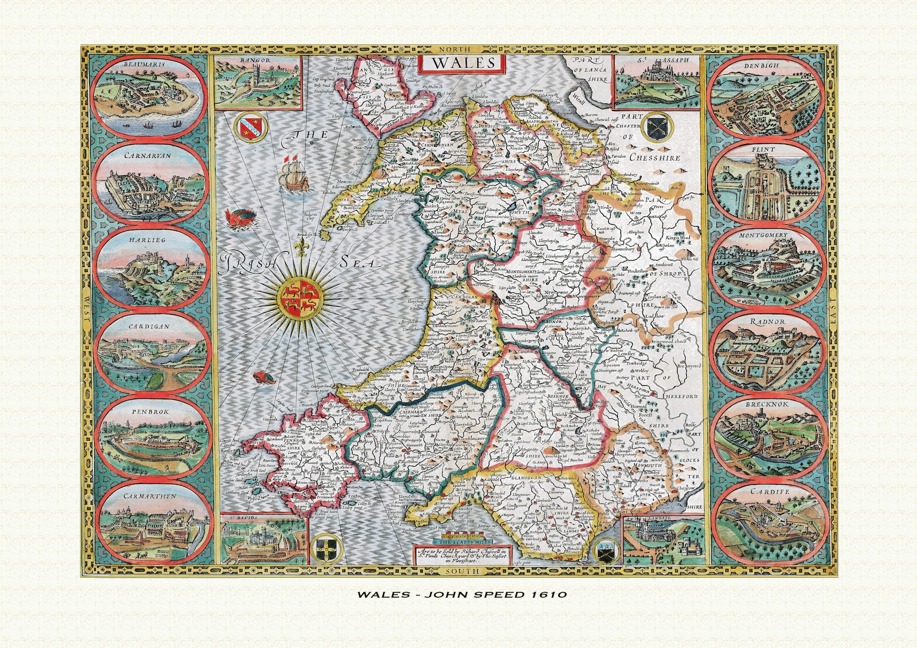
A reproduction of John Speed’s historic map of Wales, first published in 1610 – the first map of the whole of Wales to appear in any British atlas, showing all thirteen historic Welsh counties along with twelve town-plan insets and the four Welsh cathedral cities. This reproduction map is printed on archival paper using giclee printing techniques and should not fade for 75 years. It is supplied unframed, in a range of sizes.
John Speed (1552-1629) is arguably the most famous English cartographer of any period, as a result of his atlas The Theatre of the Empire of Great Britaine. The individual maps are the best known and among the most sought-after of all county maps. The maps themselves were derived from the best and most up-to-date sources available. However, Speed also made innovations of his own – introducing town plans on many of the maps, including county boundaries on almost all maps and also the coats of arms of local Earls and Dukes as well the Royal Arms. The original maps were printed in monochrome, however proud owners often had their maps hand-coloured. The overall effect is to produce very decorative, attractive and informative maps.
Our images are scans of original hand-coloured maps and include the marks and blemishes associated with the passing of the years. They are printed on 310 gsm archival quality professional art paper by a state-of-the-art giclee printer using pigment inks. A Certificate of Authenticity is supplied.
Wales Map - Further information
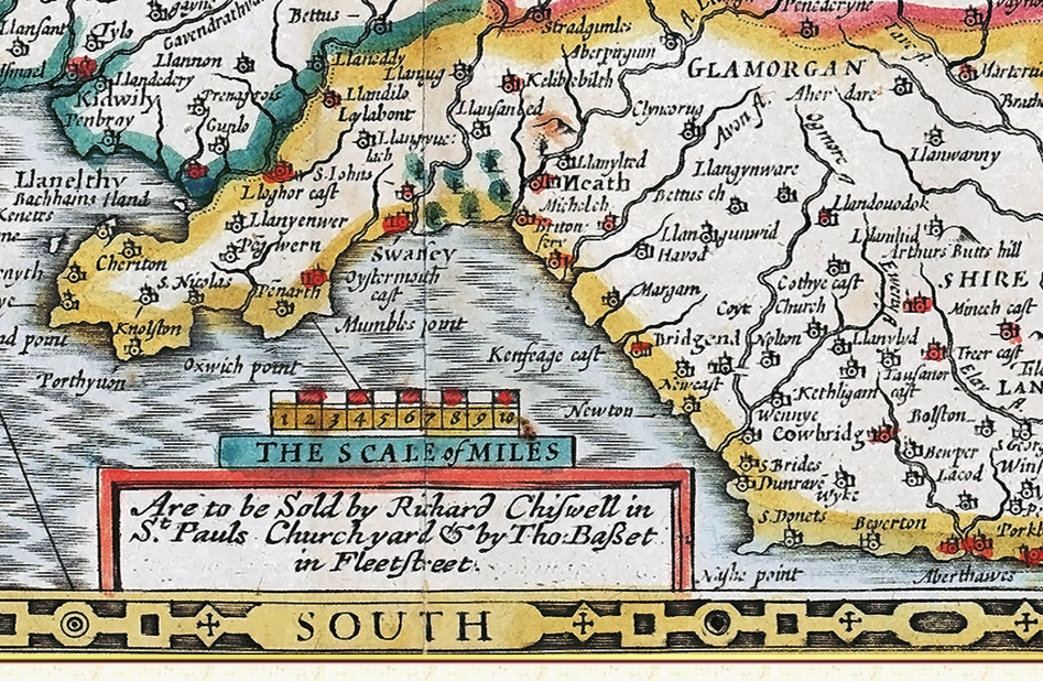
John Speed's map of Wales was the first dedicated map of the whole of Wales ever to appear in a British atlas — neither Christopher Saxton's county atlas of the 1570s nor William Camden's Britannia had attempted one. It was engraved for Speed's Theatre of the Empire of Great Britaine, with the plate itself dated 1610 and the atlas first published in 1611-12 by John Sudbury and George Humble; later 17th-century issues, including this one, were put out under the imprint of Thomas Bassett and Richard Chiswell, whose names appear in the small scale cartouche on the sheet. The engraving is generally attributed, as with the rest of the atlas, to Jodocus Hondius of Amsterdam.
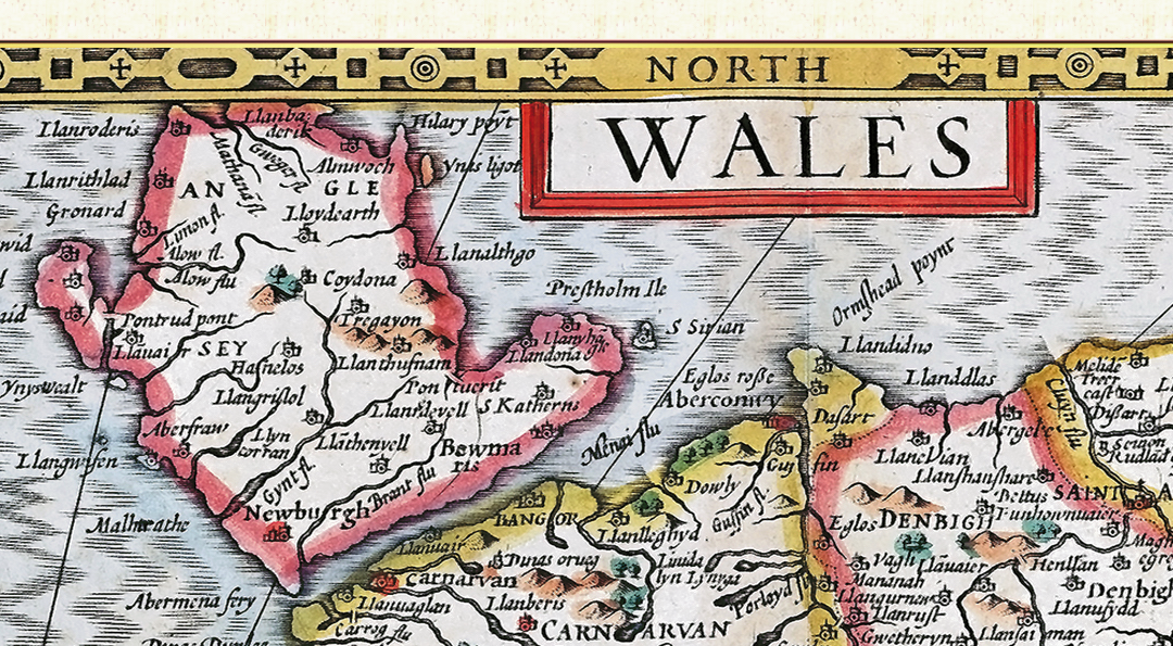
Rather than a single county, the map covers the whole of the historic Principality, divided into its old shires: Anglesey, Caernarfonshire, Merionethshire, Denbighshire, Flintshire, Montgomeryshire, Cardiganshire, Radnorshire, Brecknockshire, Glamorgan, Carmarthenshire, Pembrokeshire and Monmouthshire — the thirteen counties created by the Laws in Wales Acts of 1536 and 1543. Speed is known to have been uneasy about including Monmouthshire among them, since by his day it was administered as an English county despite its Welsh-speaking population; as a compromise the shire appears on the map itself, but the county town of Monmouth alone was left out of the decorative town plans given to every other shire.
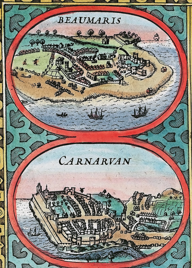
Those town plans are the map's most distinctive feature. Down the left and right borders run twelve oval views of the Welsh county towns — Beaumaris, Carnarvan, Harlech, Cardigan, Pembroke and Carmarthen down one side, and Denbigh, Flint, Montgomery, Radnor, Brecon and Cardiff down the other — each a walled or fortified settlement shown from a bird's-eye vantage, among the earliest printed views of these towns. Set apart from them, smaller insets in the four corners of the sheet depict Wales's four ancient cathedral cities — Bangor, St Asaph, St David's and Llandaff — a distinction that reflects their ecclesiastical rather than county-town status.
The map's ornament also carries a Wales-specific message: set into the Irish Sea is an elaborate compass rose bearing the arms of the Princes of Wales, rather than the succession of comital arms that decorate Speed's individual county maps. Around it, sailing ships and sea monsters populate the water in the manner usual to the atlas, and small shields of arms appear in the map's upper corners. Together with the cathedral-city insets, this ornamental scheme marks the sheet out as a map of a principality rather than of a single county, even though it was produced, sold and is still collected as one of the same great series.
Because the plate was reused largely unaltered through the atlas's many 17th-century reprintings, surviving hand-coloured impressions — including later issues bearing the Bassett and Chiswell imprint, as here — still carry the same twelve town views, four cathedral insets, and Prince of Wales compass rose that made Speed's Wales the standard printed image of the country for the best part of a century.