Description
***OLD MAP OF SHROPSHIRE BY JOHN SPEED***
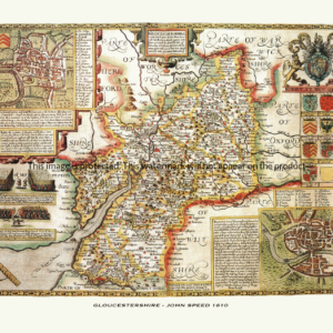
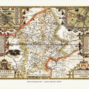
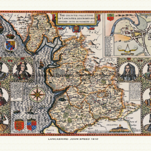
A reproduction of a historic map of Shropshire by John Speed first published in 1610, featuring Shrewsbury, Ludlow, Bridgnorth and Ironbridge. This reproduction map is printed on archival paper using giclee printing techniques and should not fade for 75 years. It is supplied unframed, in a range of sizes.
John Speed (1552-1629) is arguably the most famous English cartographer of any period, as a result of his atlas The Theatre of the Empire of Great Britaine. The individual maps are the best known and among the most sought-after of all county maps. The maps themselves were derived from the best and most up-to-date sources available. However, Speed also made innovations of his own – introducing town plans on many of the maps, including county boundaries on almost all maps and also the coats of arms of local Earls and Dukes as well the Royal Arms. The original maps were printed in monochrome, however proud owners often had their maps hand-coloured. The overall effect is to produce very decorative, attractive and informative maps.
Our images are scans of original hand-coloured maps and include the marks and blemishes associated with the passing of the years. They are printed on 310 gsm archival quality professional art paper by a state-of-the-art giclee printer using pigment inks. A Certificate of Authenticity is supplied.
Shropshire Map - Further information
John Speed's map of Shropshire appeared in his Theatre of the Empire of Great Britaine, first published in 1611-12, with the individual plate engraved in Amsterdam by Jodocus Hondius. That publishing history is common to every county sheet in the atlas, and the Shropshire plate follows the same general design as its neighbours, though surviving dealer and library descriptions of this particular sheet are noticeably sparser than for some other counties, with no confirmed record of a named battle scene on the plate itself.
Shropshire was one of the historic border, or "Marcher", counties, and the map reflects that position, running up against the Welsh boundary along its western edge. The shire is shown divided into its historic hundreds — among them Bradford, Chirbury, Clun, Condover, Ford, Munslow, Oswestry, Overs, Pimhill, Purslow and Stottesdon, together with the separate liberties of Shrewsbury, Bridgnorth, Ludlow and Wenlock — the fifteen or so divisions commonly reckoned for the county before nineteenth-century boundary changes, each picked out in Speed's usual colour wash to show the pattern of local government across the shire.
Set into the sheet is an inset plan of Shrewsbury, the county town, shown within the near-loop of the River Severn that has always given the town its natural, near-island defences. The inset plan shows the walled town and its castle guarding the narrow neck of land at the top of the loop, the one point where Shrewsbury could be approached without crossing the river.
The Severn itself runs the length of the map, cutting the county roughly in two, while the higher ground of the Clee Hills and the Clun Forest uplands in the south-west mark the beginning of the Welsh borderland proper. A little to the south, outside the area of the map itself, lay Ludlow Castle, seat through much of this period of the Council of Wales and the Marches, the body responsible for governing the English border counties alongside Wales — a reminder of how central Shropshire and its neighbours were to the administration of the whole March.
As with the rest of the atlas, the plate is finished with a strapwork title cartouche, a decorative scale bar and a border in keeping with Speed's general house style, even if the specific coats of arms and any pictorial vignettes on this sheet are not well documented in surviving descriptions of it.
Later editions of the atlas, including one issued under the London booksellers Bassett and Chiswell later in the century, reprinted the Shropshire plate with only minor changes, so hand-coloured impressions from across the 1600s still show the county much as Speed and Hondius first set it down.